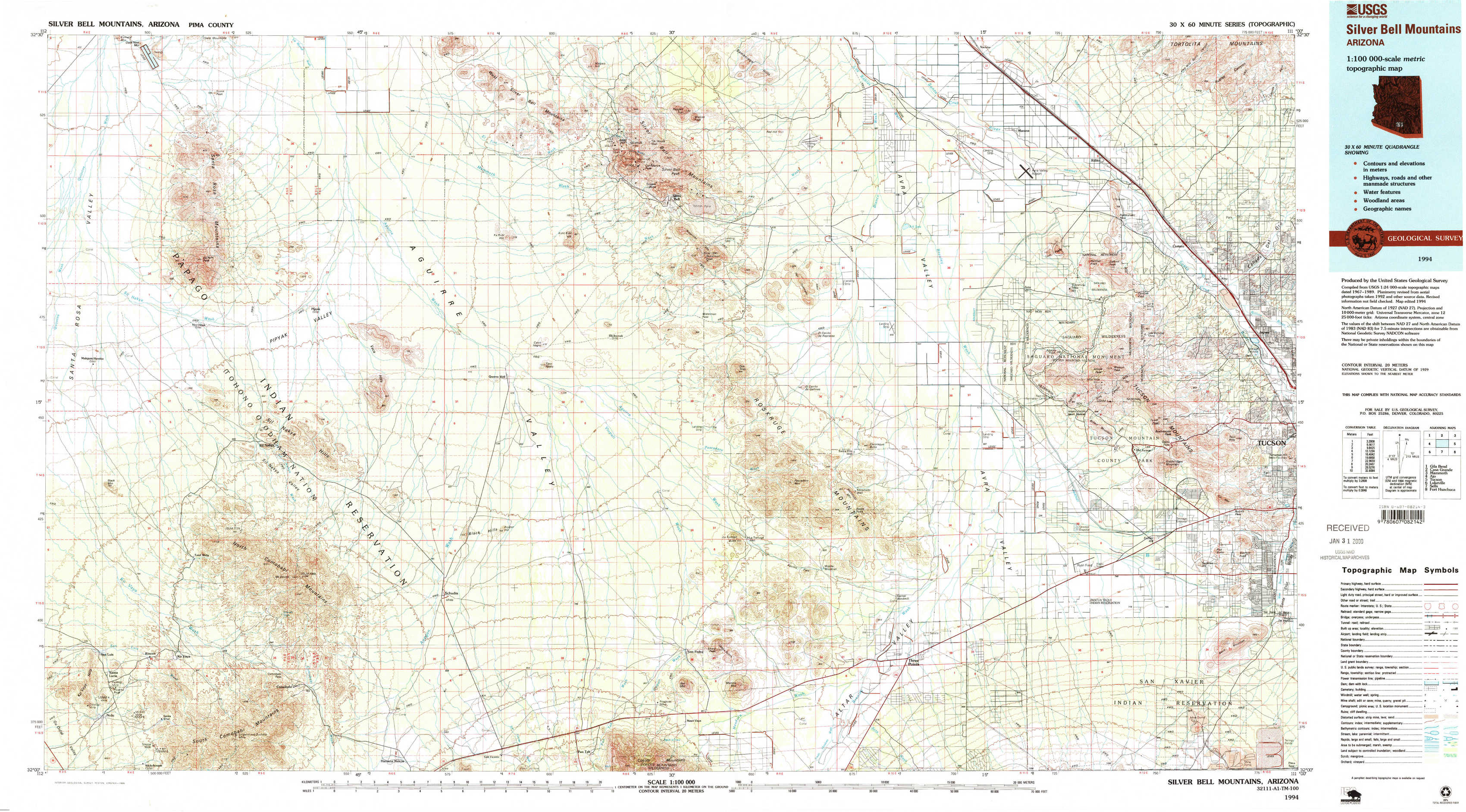
Silver Bell Mountains Topo Map Arizona
To zoom in, hover over the map of Silver Bell Mountains
USGS Topo Map 32111a1 - 1:100,000 scale
| Topo Map Name: | Silver Bell Mountains |
| USGS Topo Quad ID: | 32111a1 |
| Print Size: | ca. 39" wide x 24" high |
| Southeast Coordinates: | 32° N latitude / 111° W longitude |
| Map Center Coordinates: | 32.25° N latitude / 111.5° W longitude |
| U.S. State: | AZ |
| Filename: | 32111a1.jpg |
| Download Map JPG Image: | Silver Bell Mountains topo map 1:100,000 scale |
| Map Type: | Topographic |
| Topo Series: | 30´x60´ |
| Map Scale: | 1:100,000 |
| Source of Map Images: | United States Geological Survey (USGS) |
| Alternate Map Versions: |
Silver Bell Mountains AZ 1994, updated 1994 Download PDF Buy paper map Silver Bell Mountain AZ 1994, updated 1994 Download PDF Buy paper map |
1:100,000 Topos surrounding Silver Bell Mountains
Gila Bend |
Casa Grande |
Mammoth |
Ajo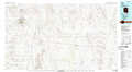 |
Silver Bell Mountains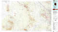 |
Tucson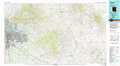 |
Lukeville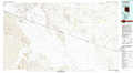 |
Sells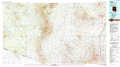 |
Fort Huachuca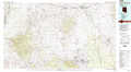 |
> Back to 32110a1 at 1:250,000 scale
> Back to U.S. Topo Maps home
1:24,000 Topo Quads covered by the spatial extent of this 100k map (Silver Bell Mountains)
|
Santa Rosa Mountains Nw 
|
Santa Rosa Mountains Ne 
|
Gap Tank 
|
Silver Bell West 
|
Silver Bell East 
|
West Of Marana 
|
Marana 
|
Ruelas Canyon 
|
|
Santa Rosa Mountains Sw 
|
Santa Rosa Mountains Se 
|
Queens Well 
|
Koht Kohl Hill 
|
Waterman Peak 
|
West Of Avra 
|
Avra 
|
Jaynes 
|
|
Sand Wells 
|
Sil Nakya 
|
Black Hills 
|
San Ignacio Ranch 
|
La Tortuga Butte 
|
Cocoraque Butte 
|
Brown Mountain 
|
Cat Mountain 
|
|
Ko Vaya 
|
Comobabi 
|
Haivana Nakya 
|
Pan Tak 
|
San Pedro 
|
Three Points 
|
San Xavier Mission Sw 
|
San Xavier Mission 
|