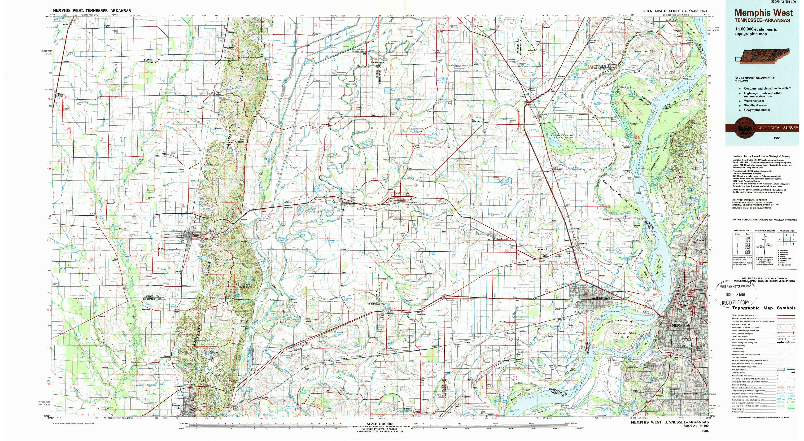
Memphis West Topo Map Tennessee
To zoom in, hover over the map of Memphis West
USGS Topo Map 35090a1 - 1:100,000 scale
| Topo Map Name: | Memphis West |
| USGS Topo Quad ID: | 35090a1 |
| Print Size: | ca. 39" wide x 24" high |
| Southeast Coordinates: | 35° N latitude / 90° W longitude |
| Map Center Coordinates: | 35.25° N latitude / 90.5° W longitude |
| U.S. States: | TN, AR |
| Filename: | 35090a1.jpg |
| Download Map JPG Image: | Memphis West topo map 1:100,000 scale |
| Map Type: | Topographic |
| Topo Series: | 30´x60´ |
| Map Scale: | 1:100,000 |
| Source of Map Images: | United States Geological Survey (USGS) |
| Alternate Map Versions: |
Memphis West TN 1986, updated 1986 Download PDF Buy paper map Memphis West TN 1986, updated 1989 Download PDF Buy paper map |
1:100,000 Topos surrounding Memphis West
Batesville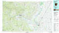 |
Jonesboro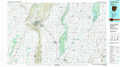 |
Blytheville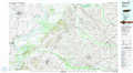 |
Searcy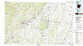 |
Memphis West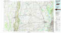 |
Memphis East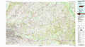 |
Brinkley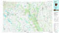 |
Helena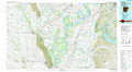 |
Holly Springs |
> Back to 35090a1 at 1:250,000 scale
> Back to U.S. Topo Maps home
1:24,000 Topo Quads covered by the spatial extent of this 100k map (Memphis West)
|
Hickory Ridge 
|
Cherry Valley West 
|
Cherry Valley East 
|
Monterey 
|
Joyland 
|
Tyronza 
|
Frenchmans Bayou 
|
Pecan Point 
|
|
Central 
|
Vanndale 
|
Princedale 
|
Parkin 
|
Earle 
|
Heafer 
|
Jericho 
|
Locke 
|
|
Hamlin 
|
Wynne 
|
Wittsburg 
|
Gieseck 
|
Jeanette 
|
Crawfordsville 
|
West Memphis 
|
Northwest Memphis 
|
|
Hawkins 
|
Forrest City 
|
Madison 
|
Round Pond 
|
Chatfield 
|
Edmondson 
|
Fletcher Lake 
|
Southwest Memphis 
|