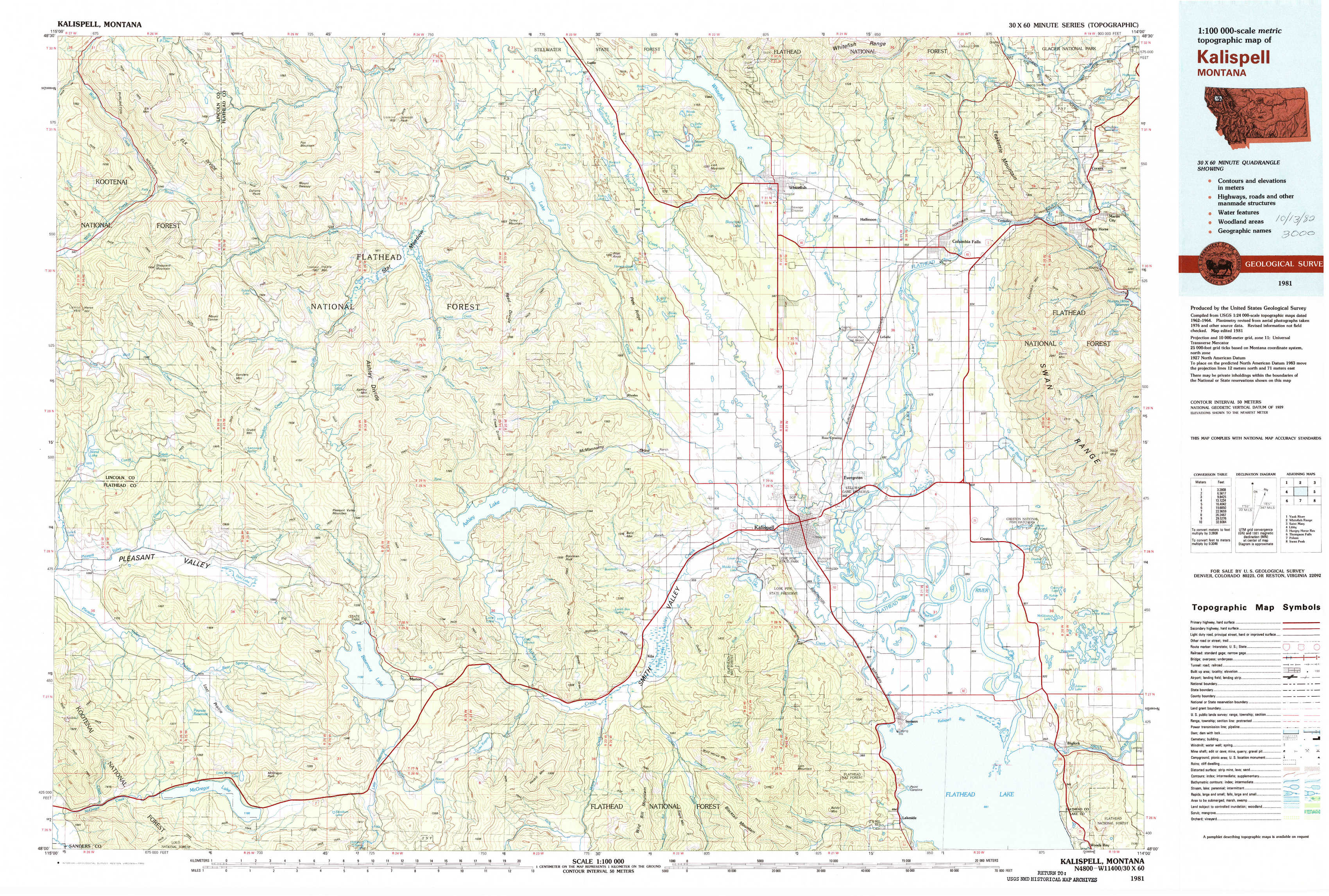
Kalispell Topo Map Montana
To zoom in, hover over the map of Kalispell
USGS Topo Map 48114a1 - 1:100,000 scale
| Topo Map Name: | Kalispell |
| USGS Topo Quad ID: | 48114a1 |
| Print Size: | ca. 39" wide x 24" high |
| Southeast Coordinates: | 48° N latitude / 114° W longitude |
| Map Center Coordinates: | 48.25° N latitude / 114.5° W longitude |
| U.S. State: | MT |
| Filename: | 48114a1.jpg |
| Download Map JPG Image: | Kalispell topo map 1:100,000 scale |
| Map Type: | Topographic |
| Topo Series: | 30´x60´ |
| Map Scale: | 1:100,000 |
| Source of Map Images: | United States Geological Survey (USGS) |
| Alternate Map Versions: |
Kalispell MT 1981, updated 1982 Download PDF Buy paper map |
1:100,000 Topos surrounding Kalispell
Yaak River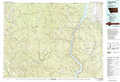 |
Whitefish Range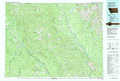 |
Saint Mary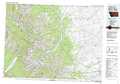 |
Libby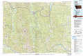 |
Kalispell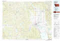 |
Hungry Horse Reservoir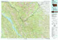 |
Thompson Falls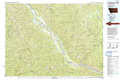 |
Polson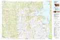 |
Swan Peak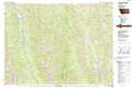 |
> Back to 48114a1 at 1:250,000 scale
> Back to U.S. Topo Maps home
1:24,000 Topo Quads covered by the spatial extent of this 100k map (Kalispell)
|
Bowen Lake 
|
Dunsire Point 
|
Johnson Peak 
|
Tally Lake 
|
Beaver Lake 
|
Whitefish 
|
Columbia Falls North 
|
Hungry Horse 
|
|
Horse Hill 
|
Sylvia Lake 
|
Ashley Mountain 
|
Lost Creek Divide 
|
Rhodes 
|
Rose Crossing 
|
Columbia Falls South 
|
Doris Mountain 
|
|
Lynch Lake 
|
Dahl Lake 
|
Pleasant Valley Mountain 
|
Lone Lake 
|
Blue Grass Ridge 
|
Kalispell 
|
Creston 
|
Hash Mountain 
|
|
Meadow Peak 
|
Mcgregor Peak 
|
Marion 
|
Haskill Mountain 
|
Kila 
|
Lion Mountain 
|
Somers 
|
Bigfork 
|