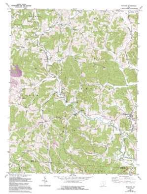
Rutland Topo Map Ohio
To zoom in, hover over the map of Rutland
USGS Topo Quad 39082a2 - 1:24,000 scale
| Topo Map Name: | Rutland |
| USGS Topo Quad ID: | 39082a2 |
| Print Size: | ca. 21 1/4" wide x 27" high |
| Southeast Coordinates: | 39° N latitude / 82.125° W longitude |
| Map Center Coordinates: | 39.0625° N latitude / 82.1875° W longitude |
| U.S. State: | OH |
| Filename: | o39082a2.jpg |
| Download Map JPG Image: | Rutland topo map 1:24,000 scale |
| Map Type: | Topographic |
| Topo Series: | 7.5´ |
| Map Scale: | 1:24,000 |
| Source of Map Images: | United States Geological Survey (USGS) |
| Alternate Map Versions: |
Rutland OH 1960, updated 1961 Download PDF Buy paper map Rutland OH 1960, updated 1968 Download PDF Buy paper map Rutland OH 1960, updated 1977 Download PDF Buy paper map Rutland OH 1960, updated 1995 Download PDF Buy paper map Rutland OH 2010 Download PDF Buy paper map Rutland OH 2013 Download PDF Buy paper map Rutland OH 2016 Download PDF Buy paper map |
1:24,000 Topo Quads surrounding Rutland
> Back to 39082a1 at 1:100,000 scale
> Back to 39082a1 at 1:250,000 scale
> Back to U.S. Topo Maps home
Rutland topo map: Gazetteer
Rutland: Dams
Lambert Pond Dam elevation 223m 731′Meigs Mine Number One Water Supply Dam elevation 191m 626′
Rutland: Populated Places
Buckhorn (historical) elevation 181m 593′Dexter elevation 180m 590′
Hanesville elevation 194m 636′
Langsville elevation 177m 580′
Martinsburg (historical) elevation 179m 587′
Rutland elevation 175m 574′
Rutland: Post Offices
Dexter Post Office elevation 178m 583′Hanesville Post Office (historical) elevation 193m 633′
Langsville Post Office elevation 181m 593′
Rutland Post Office elevation 177m 580′
Rutland: Reservoirs
Lambert Pond elevation 223m 731′Meigs Mine Number One Water Supply Reservoir elevation 191m 626′
Rutland: Streams
Dexter Run elevation 182m 597′Grass Run elevation 179m 587′
Little Leading Creek elevation 170m 557′
Little Parker Run elevation 183m 600′
Malloons Creek elevation 175m 574′
Mud Fork elevation 180m 590′
Parker Run elevation 178m 583′
Rutland digital topo map on disk
Buy this Rutland topo map showing relief, roads, GPS coordinates and other geographical features, as a high-resolution digital map file on DVD:


