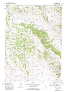
Long Valley Topo Map Idaho
To zoom in, hover over the map of Long Valley
USGS Topo Quad 43111b6 - 1:24,000 scale
| Topo Map Name: | Long Valley |
| USGS Topo Quad ID: | 43111b6 |
| Print Size: | ca. 21 1/4" wide x 27" high |
| Southeast Coordinates: | 43.125° N latitude / 111.625° W longitude |
| Map Center Coordinates: | 43.1875° N latitude / 111.6875° W longitude |
| U.S. State: | ID |
| Filename: | o43111b6.jpg |
| Download Map JPG Image: | Long Valley topo map 1:24,000 scale |
| Map Type: | Topographic |
| Topo Series: | 7.5´ |
| Map Scale: | 1:24,000 |
| Source of Map Images: | United States Geological Survey (USGS) |
| Alternate Map Versions: |
Long Valley ID 1981, updated 1982 Download PDF Buy paper map Long Valley ID 2010 Download PDF Buy paper map Long Valley ID 2013 Download PDF Buy paper map |
1:24,000 Topo Quads surrounding Long Valley
> Back to 43111a1 at 1:100,000 scale
> Back to 43110a1 at 1:250,000 scale
> Back to U.S. Topo Maps home
Long Valley topo map: Gazetteer
Long Valley: Basins
Pack Saddle Basin elevation 1979m 6492′The Basin elevation 1993m 6538′
Long Valley: Bridges
Pole Bridge elevation 1872m 6141′Long Valley: Ranges
Three Buttes elevation 2187m 7175′Long Valley: Reservoirs
Parleys Reservoir elevation 1982m 6502′Robison Reservoir elevation 1919m 6295′
Long Valley: Springs
Dynamite Spring elevation 1927m 6322′Gold Spring elevation 1940m 6364′
Long Valley Spring elevation 1956m 6417′
Lower Spring elevation 2000m 6561′
Rock Spring elevation 2156m 7073′
Upper Spring elevation 2022m 6633′
Long Valley: Streams
Chicken Creek elevation 1885m 6184′Long Valley Creek elevation 1883m 6177′
Middle Creek elevation 1966m 6450′
Pack Saddle Creek elevation 1970m 6463′
Sheep Creek elevation 1964m 6443′
Spring Creek elevation 1964m 6443′
Long Valley: Summits
Mollies Nipple elevation 2160m 7086′Sheep Mountain elevation 2256m 7401′
The Saddle elevation 2112m 6929′
Long Valley: Valleys
Long Valley elevation 1909m 6263′Long Valley digital topo map on disk
Buy this Long Valley topo map showing relief, roads, GPS coordinates and other geographical features, as a high-resolution digital map file on DVD:


