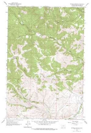
Mitchell Mountain Topo Map Montana
To zoom in, hover over the map of Mitchell Mountain
USGS Topo Quad 46112h2 - 1:24,000 scale
| Topo Map Name: | Mitchell Mountain |
| USGS Topo Quad ID: | 46112h2 |
| Print Size: | ca. 21 1/4" wide x 27" high |
| Southeast Coordinates: | 46.875° N latitude / 112.125° W longitude |
| Map Center Coordinates: | 46.9375° N latitude / 112.1875° W longitude |
| U.S. State: | MT |
| Filename: | o46112h2.jpg |
| Download Map JPG Image: | Mitchell Mountain topo map 1:24,000 scale |
| Map Type: | Topographic |
| Topo Series: | 7.5´ |
| Map Scale: | 1:24,000 |
| Source of Map Images: | United States Geological Survey (USGS) |
| Alternate Map Versions: |
Mitchell Mountain MT 1962, updated 1964 Download PDF Buy paper map Mitchell Mountain MT 1962, updated 1975 Download PDF Buy paper map Mitchell Mountain MT 2011 Download PDF Buy paper map Mitchell Mountain MT 2014 Download PDF Buy paper map |
1:24,000 Topo Quads surrounding Mitchell Mountain
> Back to 46112e1 at 1:100,000 scale
> Back to 46112a1 at 1:250,000 scale
> Back to U.S. Topo Maps home
Mitchell Mountain topo map: Gazetteer
Mitchell Mountain: Bridges
Little Prickly Pear Creek Bridge elevation 1188m 3897′Mitchell Mountain: Canals
Sieben Ranch Ditch elevation 1198m 3930′Mitchell Mountain: Mines
NE NE Section 5 Mine elevation 1480m 4855′Mitchell Mountain: Populated Places
Sieben elevation 1184m 3884′Mitchell Mountain: Post Offices
Sieben Post Office (historical) elevation 1184m 3884′Mitchell Mountain: Streams
Lyons Creek elevation 1147m 3763′Medicine Rock Creek elevation 1142m 3746′
North Fork Lyons Creek elevation 1262m 4140′
South Fork Lyons Creek elevation 1262m 4140′
Mitchell Mountain: Summits
Mitchell Mountain elevation 2140m 7020′Mitchell Mountain: Valleys
Albertson Gulch elevation 1378m 4520′Glen Marie Gulch elevation 1278m 4192′
Miners Gulch elevation 1364m 4475′
Mitchell Mountain digital topo map on disk
Buy this Mitchell Mountain topo map showing relief, roads, GPS coordinates and other geographical features, as a high-resolution digital map file on DVD:


