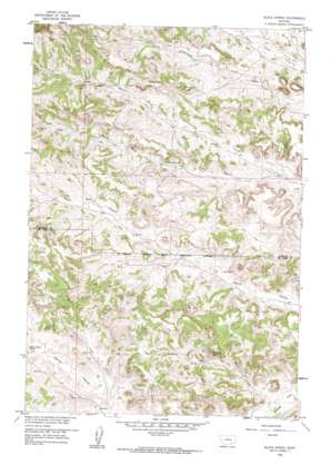
Black Spring Topo Map Montana
To zoom in, hover over the map of Black Spring
USGS Topo Quad 45106f7 - 1:24,000 scale
| Topo Map Name: | Black Spring |
| USGS Topo Quad ID: | 45106f7 |
| Print Size: | ca. 21 1/4" wide x 27" high |
| Southeast Coordinates: | 45.625° N latitude / 106.75° W longitude |
| Map Center Coordinates: | 45.6875° N latitude / 106.8125° W longitude |
| U.S. State: | MT |
| Filename: | o45106f7.jpg |
| Download Map JPG Image: | Black Spring topo map 1:24,000 scale |
| Map Type: | Topographic |
| Topo Series: | 7.5´ |
| Map Scale: | 1:24,000 |
| Source of Map Images: | United States Geological Survey (USGS) |
| Alternate Map Versions: |
Black Spring MT 1958, updated 1960 Download PDF Buy paper map Black Spring MT 1958, updated 1985 Download PDF Buy paper map Black Spring MT 2011 Download PDF Buy paper map Black Spring MT 2014 Download PDF Buy paper map |
1:24,000 Topo Quads surrounding Black Spring
> Back to 45106e1 at 1:100,000 scale
> Back to 45106a1 at 1:250,000 scale
> Back to U.S. Topo Maps home
Black Spring topo map: Gazetteer
Black Spring: Springs
Black Spring elevation 1056m 3464′Indian Coulee Spring elevation 1037m 3402′
Lynch Spring elevation 1016m 3333′
Black Spring: Streams
Water Holes Creek elevation 1004m 3293′Black Spring: Valleys
Black Spring Coulee elevation 990m 3248′South Fork Indian Coulee elevation 1037m 3402′
Black Spring: Wells
01S40E14DCBD01 Well elevation 1009m 3310′01S40E28CCDA01 Well elevation 1046m 3431′
02S40E06CDA_01 Well elevation 1062m 3484′
02S40E06D___01 Well elevation 1055m 3461′
02S40E07DDD_01 Well elevation 1071m 3513′
02S40E08D___01 Well elevation 1054m 3458′
02S40E09CAD_01 Well elevation 1036m 3398′
02S40E14DCA_01 Well elevation 997m 3270′
02S40E27BAD_01 Well elevation 1021m 3349′
02S41E02DABC01 Well elevation 1060m 3477′
Black Spring digital topo map on disk
Buy this Black Spring topo map showing relief, roads, GPS coordinates and other geographical features, as a high-resolution digital map file on DVD:
Eastern Montana & Western North Dakota
Buy digital topo maps: Eastern Montana & Western North Dakota


