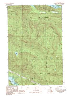
Cougar Mountain Topo Map Washington
To zoom in, hover over the map of Cougar Mountain
USGS Topo Quad 47121c6 - 1:24,000 scale
| Topo Map Name: | Cougar Mountain |
| USGS Topo Quad ID: | 47121c6 |
| Print Size: | ca. 21 1/4" wide x 27" high |
| Southeast Coordinates: | 47.25° N latitude / 121.625° W longitude |
| Map Center Coordinates: | 47.3125° N latitude / 121.6875° W longitude |
| U.S. State: | WA |
| Filename: | o47121c6.jpg |
| Download Map JPG Image: | Cougar Mountain topo map 1:24,000 scale |
| Map Type: | Topographic |
| Topo Series: | 7.5´ |
| Map Scale: | 1:24,000 |
| Source of Map Images: | United States Geological Survey (USGS) |
| Alternate Map Versions: |
Cougar Mountain WA 1989, updated 1989 Download PDF Buy paper map Cougar Mountain WA 2011 Download PDF Buy paper map Cougar Mountain WA 2014 Download PDF Buy paper map |
| FStopo: | US Forest Service topo Cougar Mountain is available: Download FStopo PDF Download FStopo TIF |
1:24,000 Topo Quads surrounding Cougar Mountain
> Back to 47121a1 at 1:100,000 scale
> Back to 47120a1 at 1:250,000 scale
> Back to U.S. Topo Maps home
Cougar Mountain topo map: Gazetteer
Cougar Mountain: Lakes
Eagle Lake elevation 681m 2234′Tsuga Lakes elevation 1116m 3661′
Cougar Mountain: Streams
Boulder Creek elevation 477m 1564′Boundary Creek elevation 386m 1266′
Eagle Creek elevation 610m 2001′
Gale Creek elevation 349m 1145′
Lindsay Creek elevation 532m 1745′
Pine Creek elevation 694m 2276′
Cougar Mountain: Summits
Little Mountain elevation 895m 2936′Mount Lindsay elevation 1312m 4304′
Cougar Mountain digital topo map on disk
Buy this Cougar Mountain topo map showing relief, roads, GPS coordinates and other geographical features, as a high-resolution digital map file on DVD:


