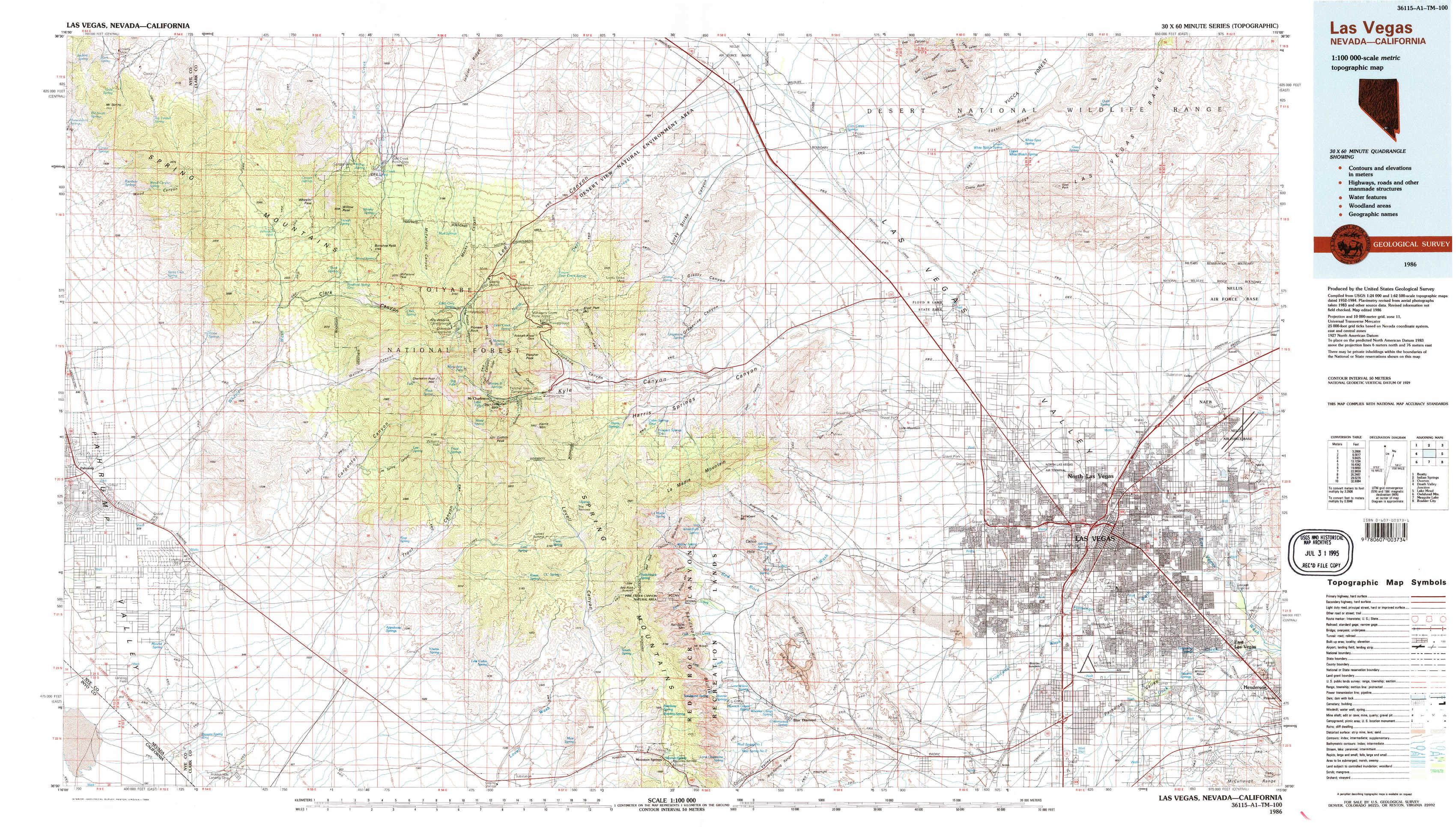
Las Vegas Topo Map Nevada
To zoom in, hover over the map of Las Vegas
USGS Topo Map 36115a1 - 1:100,000 scale
| Topo Map Name: | Las Vegas |
| USGS Topo Quad ID: | 36115a1 |
| Print Size: | ca. 39" wide x 24" high |
| Southeast Coordinates: | 36° N latitude / 115° W longitude |
| Map Center Coordinates: | 36.25° N latitude / 115.5° W longitude |
| U.S. States: | NV, CA |
| Filename: | 36115a1.jpg |
| Download Map JPG Image: | Las Vegas topo map 1:100,000 scale |
| Map Type: | Topographic |
| Topo Series: | 30´x60´ |
| Map Scale: | 1:100,000 |
| Source of Map Images: | United States Geological Survey (USGS) |
| Alternate Map Versions: |
Las Vegas NV 1986, updated 1986 Download PDF Buy paper map Las Vegas NV 1986, updated 1986 Download PDF Buy paper map Las Vegas NV 1986, updated 1986 Download PDF Buy paper map Las Vegas NV 1986, updated 1986 Download PDF Buy paper map |
1:100,000 Topos surrounding Las Vegas
Beatty |
Indian Springs |
Overton |
Death Valley Junction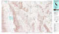 |
Las Vegas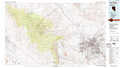 |
Lake Mead |
Owlshead Mountains |
Mesquite Lake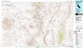 |
Boulder City |
> Back to 36114a1 at 1:250,000 scale
> Back to U.S. Topo Maps home
1:24,000 Topo Quads covered by the spatial extent of this 100k map (Las Vegas)
|
Mount Stirling 
|
Willow Peak 
|
Cold Creek 
|
Charleston Peak Ne 
|
Corn Creek Springs Nw 
|
Corn Creek Springs 
|
Gass Peak 
|
Gass Peak Ne 
|
|
Horse Springs 
|
Wheeler Well 
|
Charleston Peak 
|
Angel Peak 
|
Grapevine Spring 
|
Tule Springs Park 
|
Gass Peak Sw 
|
Valley 
|
|
Pahrump 
|
Pahrump Ne 
|
Griffith Peak 
|
La Madre Spring 
|
La Madre Mountain 
|
Blue Diamond Ne 
|
Las Vegas Nw 
|
Las Vegas Ne 
|
|
Mound Spring 
|
Hidden Hills Ranch 
|
Lost Cabin Spring 
|
Mountain Springs 
|
Blue Diamond 
|
Blue Diamond Se 
|
Las Vegas Sw 
|
Las Vegas Se 
|