Charleston Peak Ne Topo Map Nevada
To zoom in, hover over the map of Charleston Peak Ne
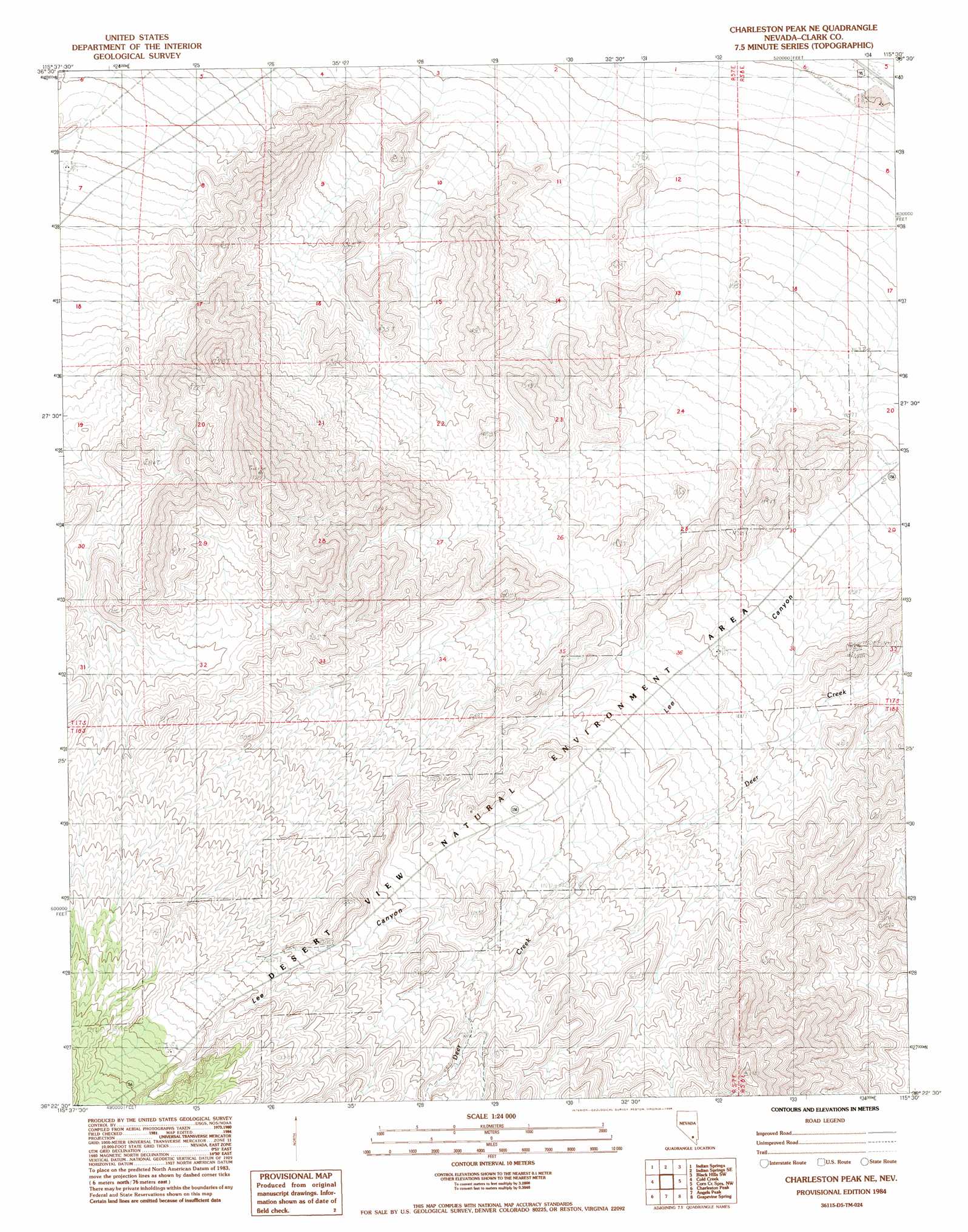
USGS Topo Quad 36115d5 - 1:24,000 scale
| Topo Map Name: | Charleston Peak Ne |
| USGS Topo Quad ID: | 36115d5 |
| Print Size: | ca. 21 1/4" wide x 27" high |
| Southeast Coordinates: | 36.375° N latitude / 115.5° W longitude |
| Map Center Coordinates: | 36.4375° N latitude / 115.5625° W longitude |
| U.S. State: | NV |
| Filename: | o36115d5.jpg |
| Download Map JPG Image: | Charleston Peak Ne topo map 1:24,000 scale |
| Map Type: | Topographic |
| Topo Series: | 7.5´ |
| Map Scale: | 1:24,000 |
| Source of Map Images: | United States Geological Survey (USGS) |
| Alternate Map Versions: |
Charleston Peak NE NV 1984, updated 1984 Download PDF Buy paper map Charleston Peak NE NV 1984, updated 1984 Download PDF Buy paper map Charleston Peak NE NV 2012 Download PDF Buy paper map Charleston Peak NE NV 2015 Download PDF Buy paper map |
| FStopo: | US Forest Service topo Charleston Peak NE is available: Download FStopo PDF Download FStopo TIF |
1:24,000 Topo Quads surrounding Charleston Peak Ne
Mercury Ne |
Indian Springs Nw |
Heavens Well |
Black Hills Nw |
White Sage Flat |
Mercury Se |
Indian Springs |
Indian Springs Se |
Black Hills Sw |
Black Hills |
Willow Peak |
Cold Creek |
Charleston Peak Ne |
Corn Creek Springs Nw |
Corn Creek Springs |
Wheeler Well |
Charleston Peak |
Angel Peak |
Grapevine Spring |
Tule Springs Park |
Pahrump Ne |
Griffith Peak |
La Madre Spring |
La Madre Mountain |
Blue Diamond Ne |
> Back to 36115a1 at 1:100,000 scale
> Back to 36114a1 at 1:250,000 scale
> Back to U.S. Topo Maps home
Charleston Peak Ne topo map: Gazetteer
Charleston Peak Ne: Parks
Desert View Natural Environment Area elevation 1493m 4898′Charleston Peak Ne: Springs
Mud Hole Spring elevation 1788m 5866′Whiskey Spring elevation 1580m 5183′
Charleston Peak Ne: Valleys
Lee Canyon elevation 1698m 5570′Charleston Peak Ne digital topo map on disk
Buy this Charleston Peak Ne topo map showing relief, roads, GPS coordinates and other geographical features, as a high-resolution digital map file on DVD:
Southern Sierra Nevada, California & Southern Nevada
Buy digital topo maps: Southern Sierra Nevada, California & Southern Nevada