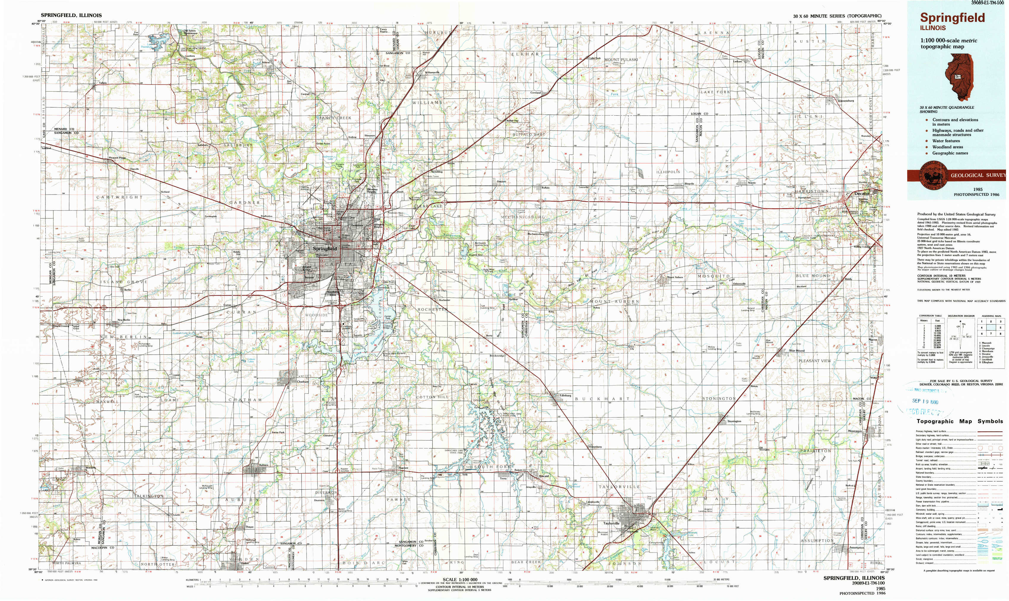
Springfield Topo Map Illinois
To zoom in, hover over the map of Springfield
USGS Topo Map 39089e1 - 1:100,000 scale
| Topo Map Name: | Springfield |
| USGS Topo Quad ID: | 39089e1 |
| Print Size: | ca. 39" wide x 24" high |
| Southeast Coordinates: | 39.5° N latitude / 89° W longitude |
| Map Center Coordinates: | 39.75° N latitude / 89.5° W longitude |
| U.S. State: | IL |
| Filename: | 39089e1.jpg |
| Download Map JPG Image: | Springfield topo map 1:100,000 scale |
| Map Type: | Topographic |
| Topo Series: | 30´x60´ |
| Map Scale: | 1:100,000 |
| Source of Map Images: | United States Geological Survey (USGS) |
| Alternate Map Versions: |
Springfield IL 1985, updated 1985 Download PDF Buy paper map Springfield IL 1985, updated 1990 Download PDF Buy paper map |
1:100,000 Topos surrounding Springfield
Macomb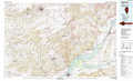 |
Lincoln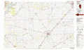 |
Champaign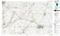 |
Meredosia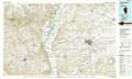 |
Springfield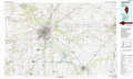 |
Decatur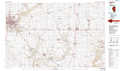 |
Jerseyville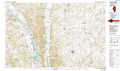 |
Litchfield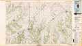 |
Effingham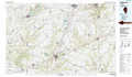 |
> Back to 39088a1 at 1:250,000 scale
> Back to U.S. Topo Maps home
1:24,000 Topo Quads covered by the spatial extent of this 100k map (Springfield)
|
Tallula 
|
Salisbury 
|
Athens 
|
Williamsville 
|
Cornland 
|
Lake Fork 
|
Latham 
|
Warrensburg 
|
|
Pleasant Plains 
|
Farmingdale 
|
Springfield West 
|
Springfield East 
|
Mechanicsburg 
|
Mount Auburn 
|
Niantic 
|
Harristown 
|
|
New Berlin 
|
Loami 
|
Chatham 
|
New City 
|
Edinburg 
|
Grove City 
|
Stonington 
|
Macon West 
|
|
Waverly 
|
Virden North 
|
Divernon 
|
Pawnee 
|
Kincaid 
|
Taylorville 
|
Willeys 
|
Assumption 
|