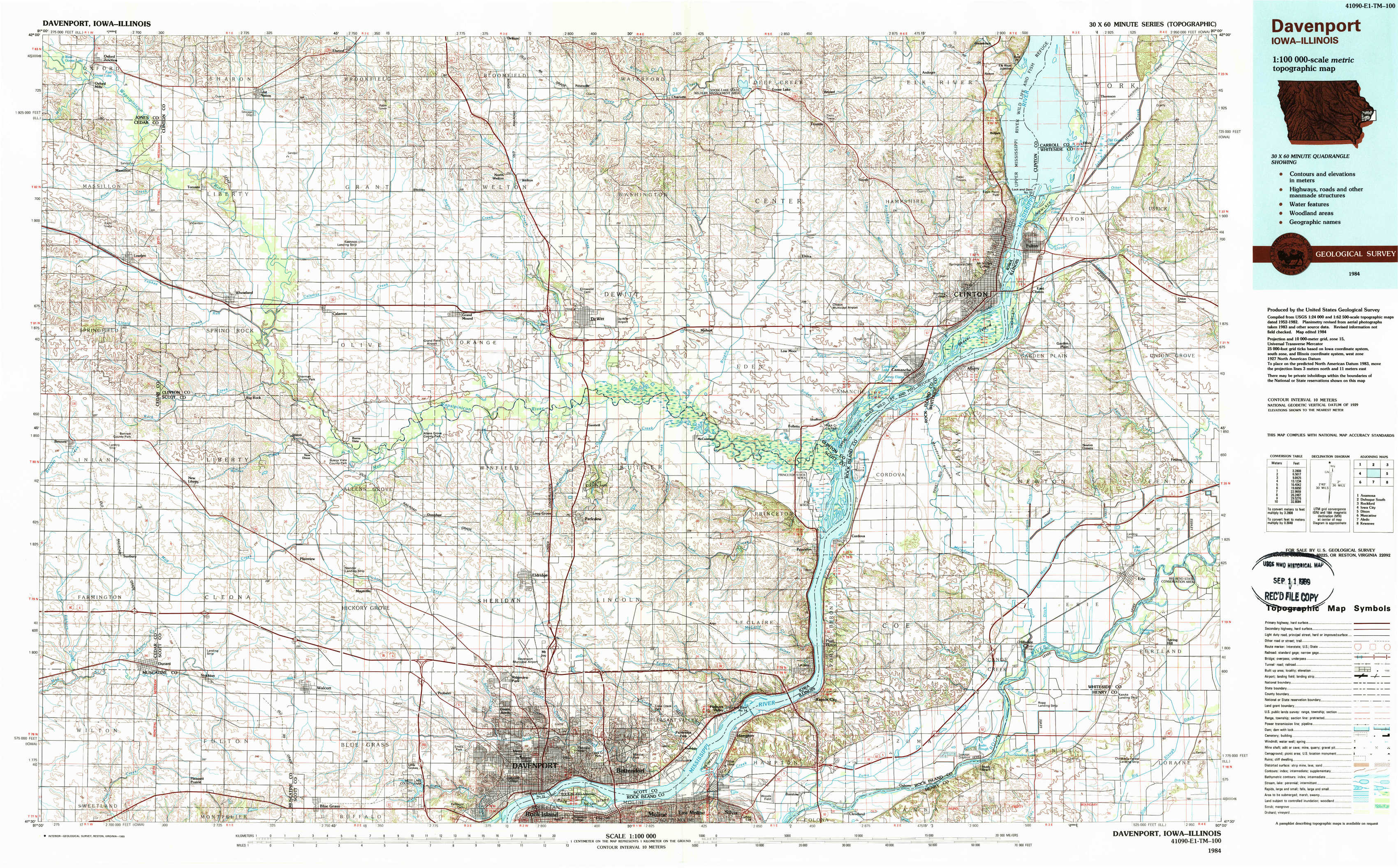
Davenport Topo Map Iowa
To zoom in, hover over the map of Davenport
USGS Topo Map 41090e1 - 1:100,000 scale
| Topo Map Name: | Davenport |
| USGS Topo Quad ID: | 41090e1 |
| Print Size: | ca. 39" wide x 24" high |
| Southeast Coordinates: | 41.5° N latitude / 90° W longitude |
| Map Center Coordinates: | 41.75° N latitude / 90.5° W longitude |
| U.S. States: | IA, IL |
| Filename: | 41090e1.jpg |
| Download Map JPG Image: | Davenport topo map 1:100,000 scale |
| Map Type: | Topographic |
| Topo Series: | 30´x60´ |
| Map Scale: | 1:100,000 |
| Source of Map Images: | United States Geological Survey (USGS) |
| Alternate Map Versions: |
Davenport IA 1984, updated 1985 Download PDF Buy paper map Davenport IA 1984, updated 1989 Download PDF Buy paper map |
1:100,000 Topos surrounding Davenport
Anamosa |
Dubuque South |
Rockford |
Iowa City |
Davenport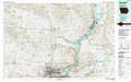 |
Dixon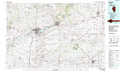 |
Muscatine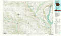 |
Aledo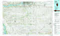 |
Kewanee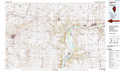 |
> Back to 41090a1 at 1:250,000 scale
> Back to U.S. Topo Maps home
1:24,000 Topo Quads covered by the spatial extent of this 100k map (Davenport)
|
Oxford Junction 
|
Lost Nation 
|
Elwood 
|
Delmar South 
|
Goose Lake 
|
Andover 
|
Clinton Nw 
|
Thomson 
|
|
Lowden 
|
Wheatland 
|
Grand Mound 
|
De Witt 
|
Malone 
|
Camanche 
|
Clinton 
|
Union Grove 
|
|
Bennett 
|
Dixon 
|
Donahue 
|
Eldridge 
|
Mccausland 
|
Cordova 
|
Erie Nw 
|
Erie 
|
|
Durant 
|
Walcott 
|
Davenport West 
|
Davenport East 
|
Silvis 
|
Port Byron 
|
Hillsdale 
|
Spring Hill 
|