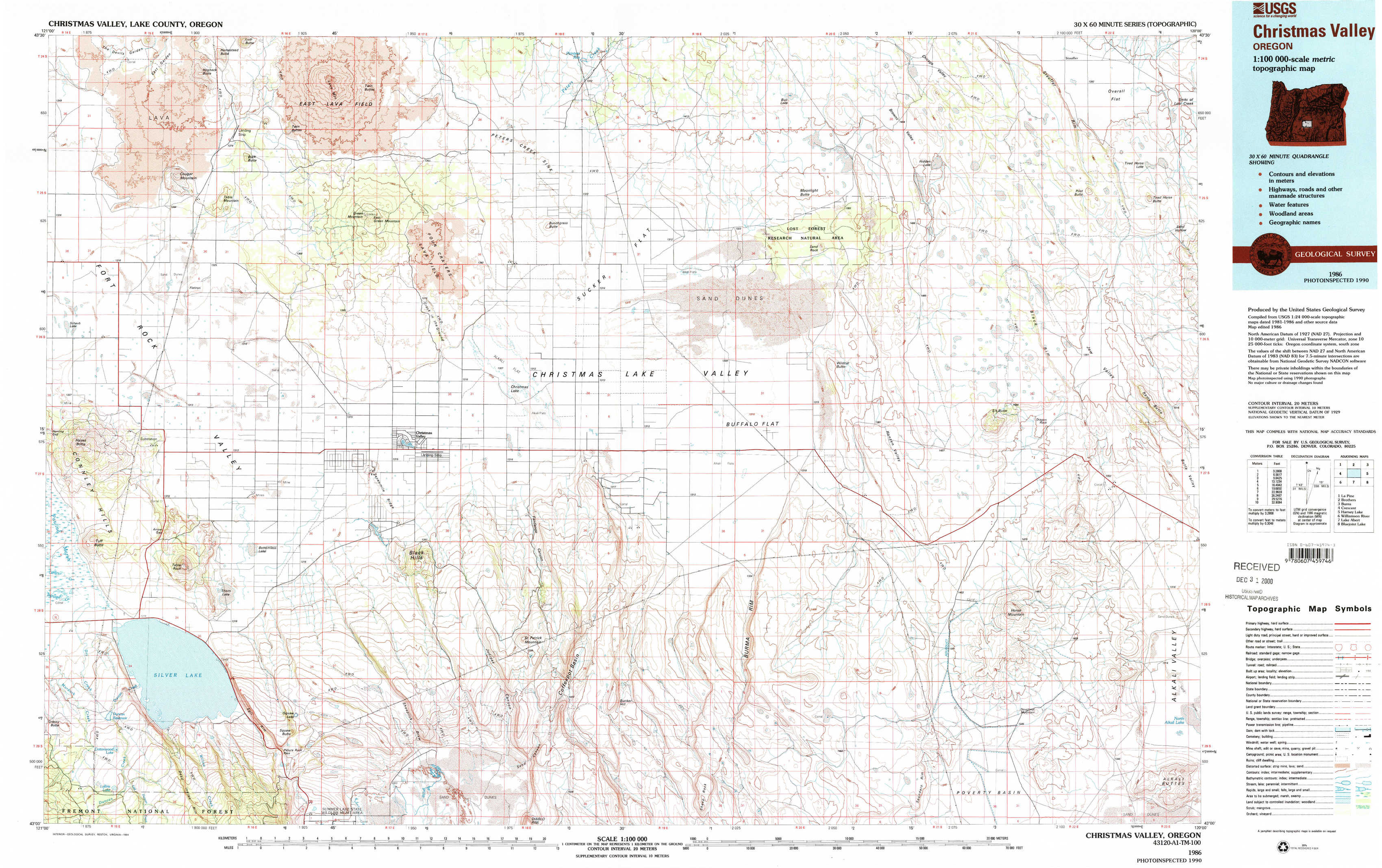
Christmas Valley Topo Map Oregon
To zoom in, hover over the map of Christmas Valley
USGS Topo Map 43120a1 - 1:100,000 scale
| Topo Map Name: | Christmas Valley |
| USGS Topo Quad ID: | 43120a1 |
| Print Size: | ca. 39" wide x 24" high |
| Southeast Coordinates: | 43° N latitude / 120° W longitude |
| Map Center Coordinates: | 43.25° N latitude / 120.5° W longitude |
| U.S. State: | OR |
| Filename: | 43120a1.jpg |
| Download Map JPG Image: | Christmas Valley topo map 1:100,000 scale |
| Map Type: | Topographic |
| Topo Series: | 30´x60´ |
| Map Scale: | 1:100,000 |
| Source of Map Images: | United States Geological Survey (USGS) |
| Alternate Map Versions: |
Christmas Valley OR 1986, updated 1994 Download PDF Buy paper map Christmas Valley OR 1986, updated 1994 Download PDF Buy paper map |
1:100,000 Topos surrounding Christmas Valley
La Pine |
Brothers |
Burns |
Crescent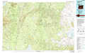 |
Christmas Valley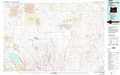 |
Harney Lake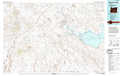 |
Williamson River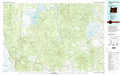 |
Lake Abert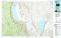 |
Bluejoint Lake |
> Back to 43120a1 at 1:250,000 scale
> Back to U.S. Topo Maps home
1:24,000 Topo Quads covered by the spatial extent of this 100k map (Christmas Valley)
|
Cougar Mountain 
|
Hogback Butte 
|
Jacks Place 
|
Peters Creek Sink 
|
Mean Rock Well 
|
Moonlight Butte 
|
Chicago Valley 
|
Tired Horse Butte 
|
|
Schaub Lake 
|
Lane Lake 
|
Crack In The Ground 
|
Christmas Lake 
|
Fossil Lake 
|
Sand Rock 
|
Elk Butte 
|
Rams Butte 
|
|
Tuff Butte 
|
Thorn Lake 
|
Christmas Valley 
|
Fandango Canyon 
|
Vaughn Well 
|
Buffalo Well 
|
Horse Mountain 
|
Goodrich Well 
|
|
Duncan Reservoir 
|
Egli Rim 
|
Sheeplick Draw 
|
Saint Patrick Mountain 
|
Sheep Rock 
|
Fire Lake 
|
Poverty Basin North 
|
Alkali Buttes 
|