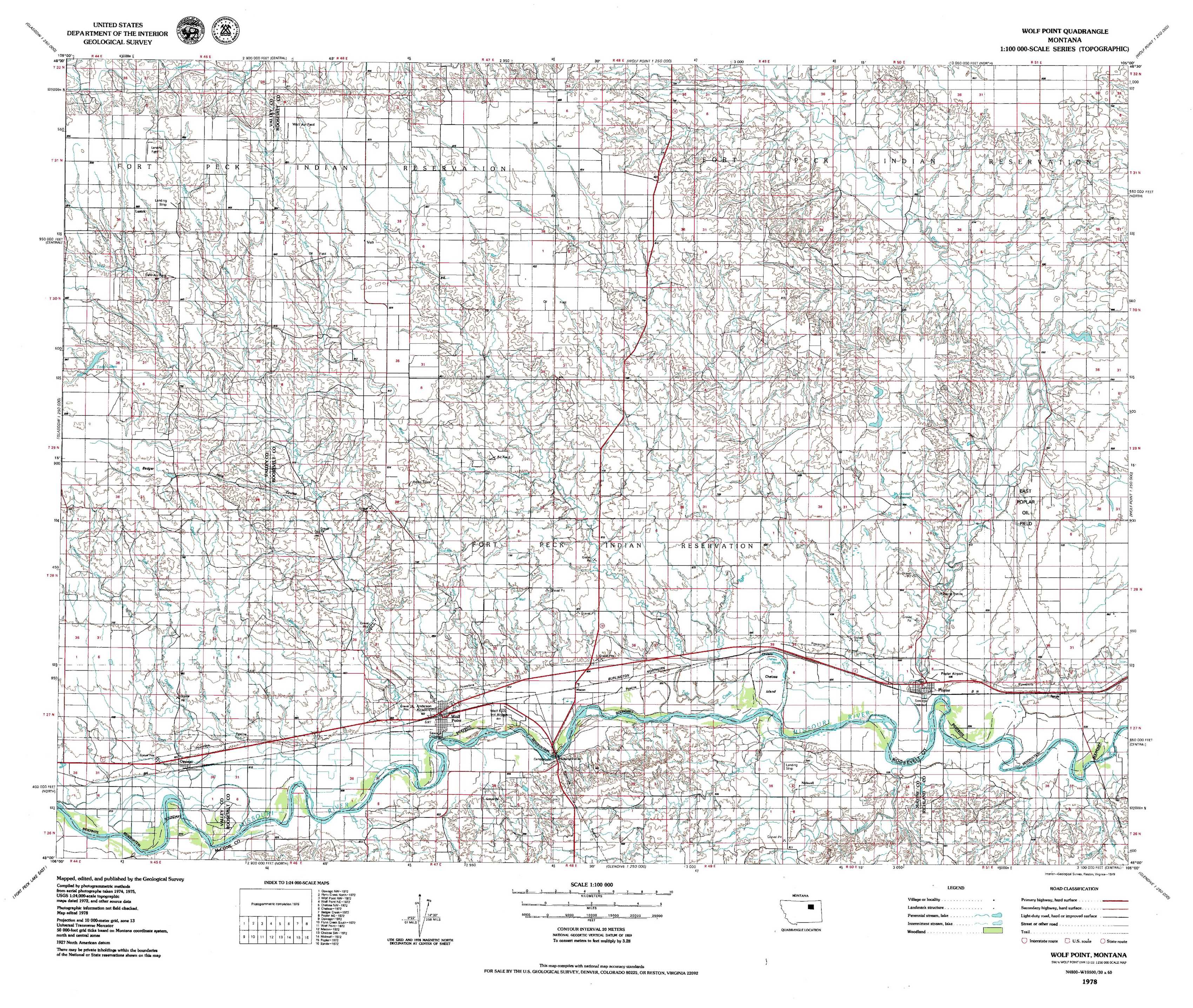
Wolf Point Topo Map Montana
To zoom in, hover over the map of Wolf Point
USGS Topo Map 48105a1 - 1:100,000 scale
| Topo Map Name: | Wolf Point |
| USGS Topo Quad ID: | 48105a1 |
| Print Size: | ca. 39" wide x 24" high |
| Southeast Coordinates: | 48° N latitude / 105° W longitude |
| Map Center Coordinates: | 48.25° N latitude / 105.5° W longitude |
| U.S. State: | MT |
| Filename: | 48105a1.jpg |
| Download Map JPG Image: | Wolf Point topo map 1:100,000 scale |
| Map Type: | Topographic |
| Topo Series: | 30´x60´ |
| Map Scale: | 1:100,000 |
| Source of Map Images: | United States Geological Survey (USGS) |
| Alternate Map Versions: | none available in database |
1:100,000 Topos surrounding Wolf Point
Opheim |
Scobey |
Plentywood |
Glasgow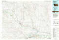 |
Wolf Point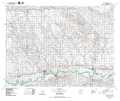 |
Culbertson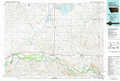 |
Fort Peck Lake East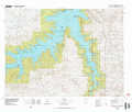 |
Richey |
Sidney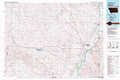 |
> Back to 48104a1 at 1:250,000 scale
> Back to U.S. Topo Maps home
1:24,000 Topo Quads covered by the spatial extent of this 100k map (Wolf Point)
|
Lustre 
|
Todd Lakes Ne 
|
Volt 
|
Reed Springs 
|
Bears Nest 
|
Windy Butte 
|
Hay Creek Nw 
|
Hay Creek 
|
|
Todd Lakes 
|
Todd Lakes Se 
|
Tule Valley West 
|
Tule Valley East 
|
Sims Spring 
|
Long Creek West 
|
Long Creek East 
|
Geddart Lake 
|
|
Oswego Nw 
|
Flynn Creek North 
|
Wolf Point Nw 
|
Wolf Point Ne 
|
Chelsea Nw 
|
Chelsea 
|
Badger Creek 
|
Poplar Ne 
|
|
Oswego 
|
Flynn Creek South 
|
Wolf Point 
|
Macon 
|
Chelsea Sw 
|
Nickwall 
|
Poplar 
|
Sprole 
|