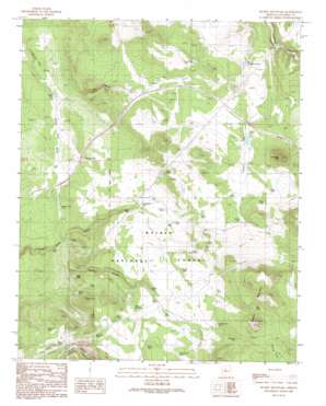
Hearst Mountain Topo Map Arizona
To zoom in, hover over the map of Hearst Mountain
USGS Topo Quad 35112c3 - 1:24,000 scale
| Topo Map Name: | Hearst Mountain |
| USGS Topo Quad ID: | 35112c3 |
| Print Size: | ca. 21 1/4" wide x 27" high |
| Southeast Coordinates: | 35.25° N latitude / 112.25° W longitude |
| Map Center Coordinates: | 35.3125° N latitude / 112.3125° W longitude |
| U.S. State: | AZ |
| Filename: | o35112c3.jpg |
| Download Map JPG Image: | Hearst Mountain topo map 1:24,000 scale |
| Map Type: | Topographic |
| Topo Series: | 7.5´ |
| Map Scale: | 1:24,000 |
| Source of Map Images: | United States Geological Survey (USGS) |
| Alternate Map Versions: |
Hearst Mountain AZ 1989, updated 1990 Download PDF Buy paper map Hearst Mountain AZ 2012 Download PDF Buy paper map Hearst Mountain AZ 2014 Download PDF Buy paper map |
| FStopo: | US Forest Service topo Hearst Mountain is available: Download FStopo PDF Download FStopo TIF |
1:24,000 Topo Quads surrounding Hearst Mountain
> Back to 35112a1 at 1:100,000 scale
> Back to 35112a1 at 1:250,000 scale
> Back to U.S. Topo Maps home
Hearst Mountain topo map: Gazetteer
Hearst Mountain: Dams
Polson Dam elevation 1824m 5984′Hearst Mountain: Populated Places
Corva elevation 1898m 6227′Hearst Mountain: Reservoirs
Big Limestone Tank elevation 1890m 6200′Big Tank elevation 2085m 6840′
Bridge Tank elevation 1966m 6450′
Broken Dam Tank elevation 1998m 6555′
Buss Tank elevation 1928m 6325′
Button Tank elevation 1986m 6515′
Cooper Tank elevation 1986m 6515′
Corva Tank elevation 1889m 6197′
Crow Tank elevation 1860m 6102′
Doe Tank elevation 1973m 6473′
Double Dam Tank elevation 2017m 6617′
Dude Tank elevation 1851m 6072′
Eddy Tank elevation 2002m 6568′
FY Tanks FY Tank elevation 1969m 6459′
Hill Top Tank elevation 1940m 6364′
Juan Tank elevation 1895m 6217′
K Four Tank elevation 1944m 6377′
K4 Tank elevation 1940m 6364′
Kate Tank elevation 1961m 6433′
KY Tank elevation 1905m 6250′
Little KY Tank elevation 1930m 6332′
Little Rod Tank elevation 1948m 6391′
Lower Tank elevation 1989m 6525′
Mountain Tank elevation 2030m 6660′
Mud Ketch Tank elevation 1918m 6292′
Orr Tank elevation 2025m 6643′
Perrin Tank elevation 1924m 6312′
Peters Tank elevation 1935m 6348′
Polson Tank elevation 1824m 5984′
Rodgers Tank elevation 1947m 6387′
Rogers Tank elevation 1977m 6486′
Ryberg Tank elevation 1886m 6187′
SCS Tank elevation 1830m 6003′
Section Two Tank elevation 1836m 6023′
Split Tank elevation 1975m 6479′
Tea Cup Tank elevation 1861m 6105′
Tinhouse Tank elevation 1829m 6000′
Upper Buss Tank elevation 1963m 6440′
Hearst Mountain: Summits
Corva Hill elevation 2010m 6594′Coxcomb Hill elevation 2137m 7011′
Hearst Mountain elevation 2192m 7191′
KY Hills elevation 2047m 6715′
Hearst Mountain: Valleys
K Four Draw elevation 1855m 6085′KY Canyon elevation 1830m 6003′
Polson Dam Draw elevation 1798m 5898′
Rogers Canyon elevation 1804m 5918′
Hearst Mountain digital topo map on disk
Buy this Hearst Mountain topo map showing relief, roads, GPS coordinates and other geographical features, as a high-resolution digital map file on DVD:


