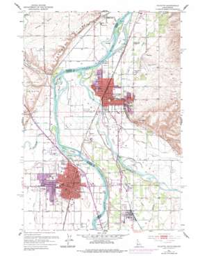
Payette Topo Map Idaho
To zoom in, hover over the map of Payette
USGS Topo Quad 44116a8 - 1:24,000 scale
| Topo Map Name: | Payette |
| USGS Topo Quad ID: | 44116a8 |
| Print Size: | ca. 21 1/4" wide x 27" high |
| Southeast Coordinates: | 44° N latitude / 116.875° W longitude |
| Map Center Coordinates: | 44.0625° N latitude / 116.9375° W longitude |
| U.S. States: | ID, OR |
| Filename: | o44116a8.jpg |
| Download Map JPG Image: | Payette topo map 1:24,000 scale |
| Map Type: | Topographic |
| Topo Series: | 7.5´ |
| Map Scale: | 1:24,000 |
| Source of Map Images: | United States Geological Survey (USGS) |
| Alternate Map Versions: |
Payette ID 1951, updated 1953 Download PDF Buy paper map Payette ID 1951, updated 1957 Download PDF Buy paper map Payette ID 1951, updated 1977 Download PDF Buy paper map Payette ID 1974, updated 1975 Download PDF Buy paper map Payette ID 2011 Download PDF Buy paper map Payette ID 2013 Download PDF Buy paper map |
1:24,000 Topo Quads surrounding Payette
> Back to 44116a1 at 1:100,000 scale
> Back to 44116a1 at 1:250,000 scale
> Back to U.S. Topo Maps home
Payette topo map: Gazetteer
Payette: Airports
Payette Municipal Airport elevation 680m 2230′Payette: Canals
Dead Ox Canal elevation 647m 2122′Farmers Ditch elevation 681m 2234′
Lower Ditch elevation 667m 2188′
Stewart Carter Ditch elevation 664m 2178′
Washoe Ditch elevation 655m 2148′
Payette: Cliffs
Clay Point elevation 766m 2513′Payette: Islands
Banks Island elevation 650m 2132′Duncan Island elevation 652m 2139′
Johnson Island elevation 653m 2142′
Little Banks Island elevation 650m 2132′
Ontario Island elevation 653m 2142′
Pool Island elevation 648m 2125′
Welch Island elevation 653m 2142′
Payette: Parks
Beck-Kiwanis Park elevation 656m 2152′Central Park elevation 655m 2148′
Eastside Park elevation 656m 2152′
Kiwanis Park elevation 653m 2142′
Laxson Park elevation 655m 2148′
Lions Park elevation 656m 2152′
Ontario State Park elevation 655m 2148′
Rosedale Memorial Park elevation 668m 2191′
Treasure Valley Ball Park elevation 656m 2152′
Payette: Populated Places
Eiffie elevation 672m 2204′Fruitland elevation 679m 2227′
Gayway Corner elevation 670m 2198′
Ingard elevation 669m 2194′
Ontario elevation 656m 2152′
Payette elevation 655m 2148′
Payette Heights elevation 683m 2240′
Ramey elevation 653m 2142′
Washoe elevation 653m 2142′
Payette: Post Offices
Ontario Post Office elevation 656m 2152′Vernie Post Office (historical) elevation 652m 2139′
Payette: Reservoirs
Becker Ponds elevation 655m 2148′Payette: Ridges
Snowmoody Ridge elevation 700m 2296′Payette: Streams
Forty-nine Slough elevation 653m 2142′Malheur River elevation 650m 2132′
Payette River elevation 648m 2125′
Payette: Valleys
Canyon Number 1 elevation 656m 2152′Jacobsen Gulch elevation 651m 2135′
Sand Hollow elevation 662m 2171′
Payette digital topo map on disk
Buy this Payette topo map showing relief, roads, GPS coordinates and other geographical features, as a high-resolution digital map file on DVD:


