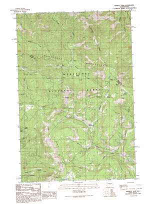
Swauk Pass Topo Map Washington
To zoom in, hover over the map of Swauk Pass
USGS Topo Quad 47120c5 - 1:24,000 scale
| Topo Map Name: | Swauk Pass |
| USGS Topo Quad ID: | 47120c5 |
| Print Size: | ca. 21 1/4" wide x 27" high |
| Southeast Coordinates: | 47.25° N latitude / 120.5° W longitude |
| Map Center Coordinates: | 47.3125° N latitude / 120.5625° W longitude |
| U.S. State: | WA |
| Filename: | o47120c5.jpg |
| Download Map JPG Image: | Swauk Pass topo map 1:24,000 scale |
| Map Type: | Topographic |
| Topo Series: | 7.5´ |
| Map Scale: | 1:24,000 |
| Source of Map Images: | United States Geological Survey (USGS) |
| Alternate Map Versions: |
Swauk Pass WA 1989, updated 1989 Download PDF Buy paper map Blewett Pass WA 1989, updated 1996 Download PDF Buy paper map Blewett Pass WA 2003, updated 2006 Download PDF Buy paper map Blewett Pass WA 2011 Download PDF Buy paper map Blewett Pass WA 2014 Download PDF Buy paper map |
| FStopo: | US Forest Service topo Blewett Pass is available: Download FStopo PDF Download FStopo TIF |
1:24,000 Topo Quads surrounding Swauk Pass
> Back to 47120a1 at 1:100,000 scale
> Back to 47120a1 at 1:250,000 scale
> Back to U.S. Topo Maps home
Swauk Pass topo map: Gazetteer
Swauk Pass: Flats
Haney Meadow elevation 1682m 5518′Naneum Meadow elevation 1544m 5065′
Swauk Meadow elevation 1282m 4206′
Tronsen Meadow elevation 1198m 3930′
Upper Naneum Meadow elevation 1742m 5715′
Swauk Pass: Gaps
Blewett Pass elevation 1257m 4124′Swauk Pass: Ridges
Diamond Head elevation 1798m 5898′Snowshoe Ridge elevation 1311m 4301′
Swauk Pass: Streams
Drop Creek elevation 1428m 4685′Howard Creek elevation 1394m 4573′
Owl Creek elevation 1484m 4868′
Pipe Creek elevation 1067m 3500′
West Fork Naneum Creek elevation 1537m 5042′
Swauk Pass: Summits
Lion Rock elevation 1938m 6358′Mount Lillian elevation 1872m 6141′
Swauk Pass: Trails
Drop Creek Spur Trail elevation 1812m 5944′Howard Creek Trail elevation 1614m 5295′
Naneum Meadow Trail elevation 1645m 5396′
Old Ellensburg Trail elevation 1667m 5469′
Owl Creek Spur Trail elevation 1691m 5547′
Tronsen Creek Trail elevation 1569m 5147′
Swauk Pass digital topo map on disk
Buy this Swauk Pass topo map showing relief, roads, GPS coordinates and other geographical features, as a high-resolution digital map file on DVD:


