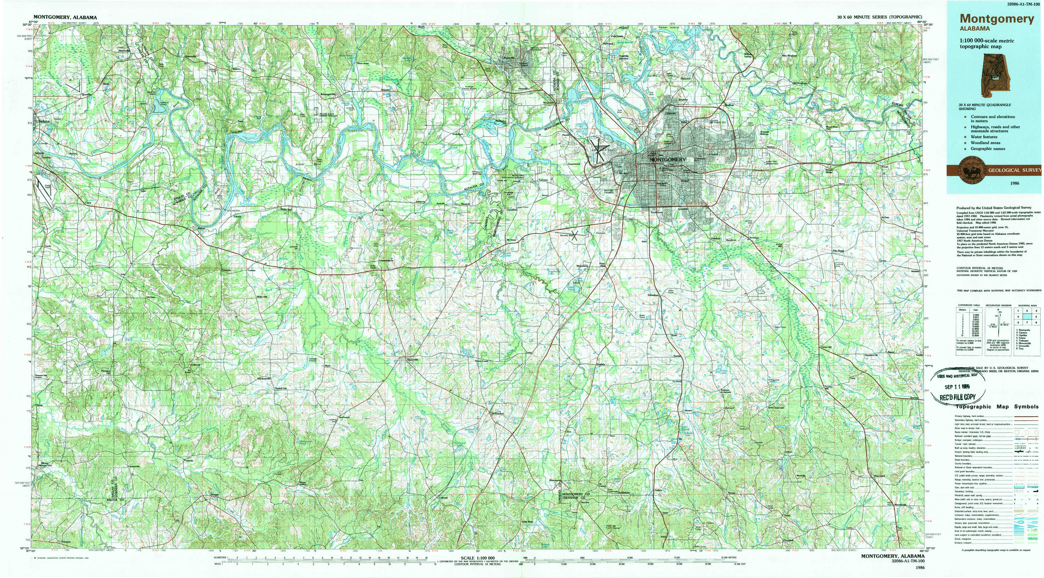
Montgomery Topo Map Alabama
To zoom in, hover over the map of Montgomery
USGS Topo Map 32086a1 - 1:100,000 scale
| Topo Map Name: | Montgomery |
| USGS Topo Quad ID: | 32086a1 |
| Print Size: | ca. 39" wide x 24" high |
| Southeast Coordinates: | 32° N latitude / 86° W longitude |
| Map Center Coordinates: | 32.25° N latitude / 86.5° W longitude |
| U.S. State: | AL |
| Filename: | 32086a1.jpg |
| Download Map JPG Image: | Montgomery topo map 1:100,000 scale |
| Map Type: | Topographic |
| Topo Series: | 30´x60´ |
| Map Scale: | 1:100,000 |
| Source of Map Images: | United States Geological Survey (USGS) |
| Alternate Map Versions: |
Montgomery AL 1986, updated 1986 Download PDF Buy paper map Montgomery AL 1986, updated 1989 Download PDF Buy paper map |
1:100,000 Topos surrounding Montgomery
Demopolis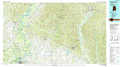 |
Clanton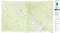 |
Opelika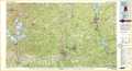 |
Selma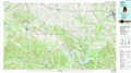 |
Montgomery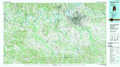 |
Tuskegee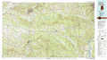 |
Monroeville |
Greenville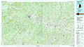 |
Troy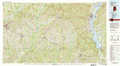 |
> Back to 32086a1 at 1:250,000 scale
> Back to U.S. Topo Maps home
1:24,000 Topo Quads covered by the spatial extent of this 100k map (Montgomery)
|
Burnsville 
|
Durant Bend 
|
Autaugaville 
|
Forester 
|
Prattville 
|
Montgomery North 
|
Willow Springs 
|
Brassell 
|
|
Sardis 
|
Benton 
|
White Hall 
|
Lowndesboro 
|
Cantelous 
|
Montgomery South 
|
Barachias 
|
Mount Meigs 
|
|
Pleasant Hill 
|
Collirene 
|
Gordonsville 
|
Hayneville 
|
Letohatchee 
|
Snowdoun 
|
Davis Crossroads 
|
Teasleys Mill 
|
|
Minter 
|
Braggs 
|
Mount Willing 
|
Calhoun 
|
Sandy Ridge 
|
Sellers 
|
Ramer 
|
Pine Level 
|