Selma Topo Map Alabama
To zoom in, hover over the map of Selma
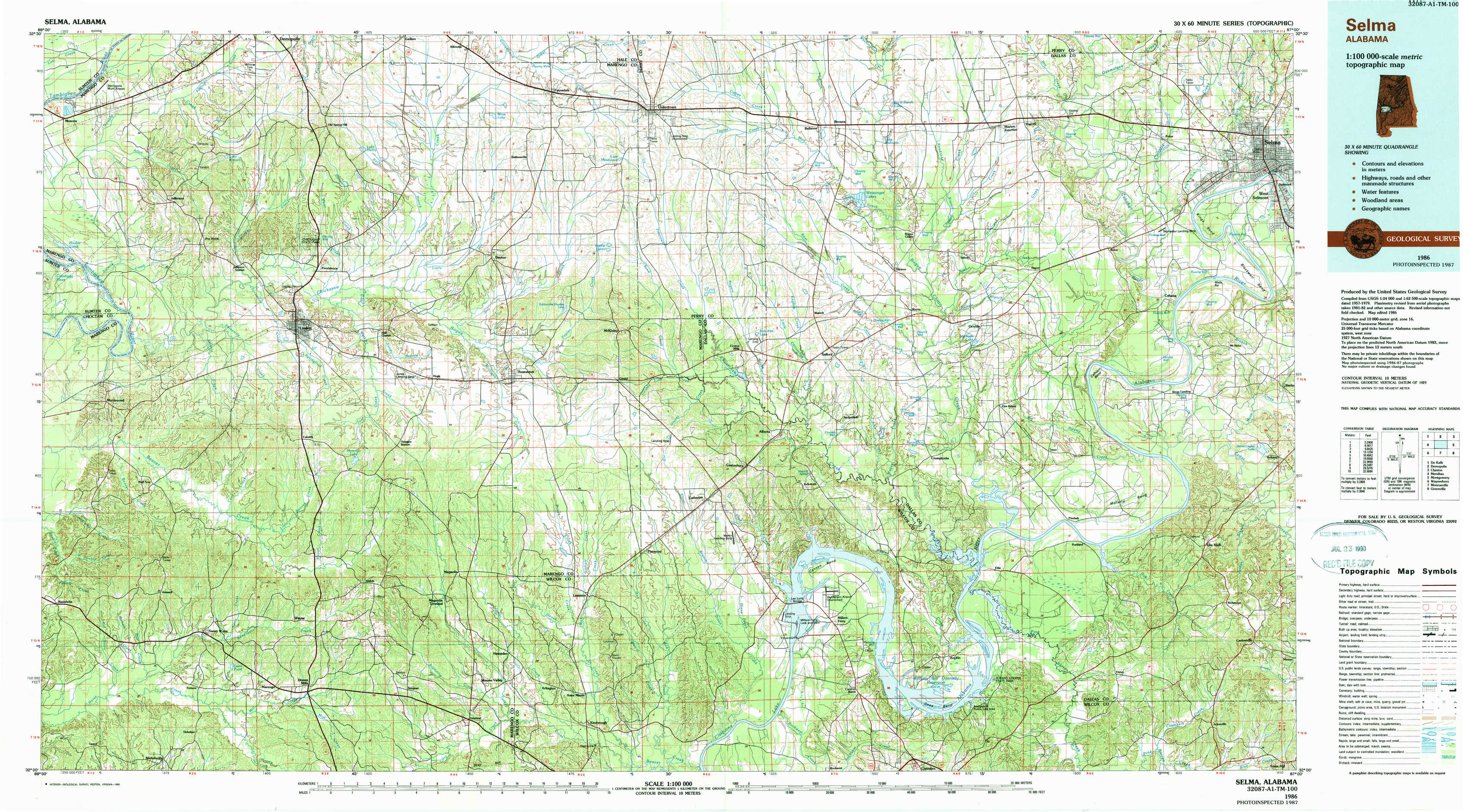
USGS Topo Map 32087a1 - 1:100,000 scale
| Topo Map Name: | Selma |
| USGS Topo Quad ID: | 32087a1 |
| Print Size: | ca. 39" wide x 24" high |
| Southeast Coordinates: | 32° N latitude / 87° W longitude |
| Map Center Coordinates: | 32.25° N latitude / 87.5° W longitude |
| U.S. State: | AL |
| Filename: | 32087a1.jpg |
| Download Map JPG Image: | Selma topo map 1:100,000 scale |
| Map Type: | Topographic |
| Topo Series: | 30´x60´ |
| Map Scale: | 1:100,000 |
| Source of Map Images: | United States Geological Survey (USGS) |
| Alternate Map Versions: |
Selma AL 1986, updated 1986 Download PDF Buy paper map Selma AL 1986, updated 1990 Download PDF Buy paper map |
1:100,000 Topos surrounding Selma
De Kalb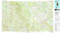 |
Demopolis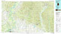 |
Clanton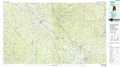 |
Meridian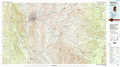 |
Selma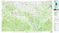 |
Montgomery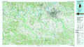 |
Waynesboro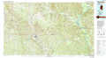 |
Monroeville |
Greenville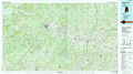 |
> Back to 32086a1 at 1:250,000 scale
> Back to U.S. Topo Maps home
1:24,000 Topo Quads covered by the spatial extent of this 100k map (Selma)
|
Jefferson 
|
Old Spring Hill 
|
Gallion 
|
Uniontown West 
|
Uniontown East 
|
Browns 
|
Marion Junction 
|
Selma 
|
|
Myrtlewood North 
|
Linden 
|
Thomaston West 
|
Thomaston East 
|
Central Mills 
|
Safford 
|
Orrville 
|
Blackwell Bend 
|
|
Myrtlewood South 
|
Miller 
|
Magnolia 
|
Flatwood 
|
Catherine 
|
Crumptonia 
|
Tasso 
|
Elm Bluff 
|
|
Nanafalia 
|
Sweet Water 
|
Surginer 
|
Kimbrough 
|
Lee Long Bridge 
|
Camden North 
|
Tilden 
|
Carlowville 
|