Victorio Peak Topo Map Texas
To zoom in, hover over the map of Victorio Peak
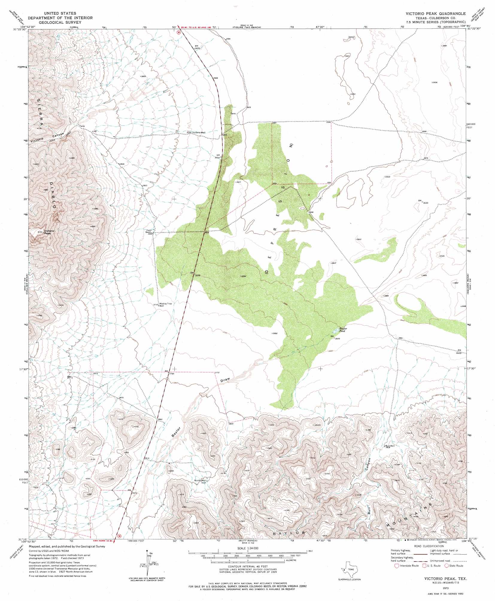
USGS Topo Quad 31104c7 - 1:24,000 scale
| Topo Map Name: | Victorio Peak |
| USGS Topo Quad ID: | 31104c7 |
| Print Size: | ca. 21 1/4" wide x 27" high |
| Southeast Coordinates: | 31.25° N latitude / 104.75° W longitude |
| Map Center Coordinates: | 31.3125° N latitude / 104.8125° W longitude |
| U.S. State: | TX |
| Filename: | o31104c7.jpg |
| Download Map JPG Image: | Victorio Peak topo map 1:24,000 scale |
| Map Type: | Topographic |
| Topo Series: | 7.5´ |
| Map Scale: | 1:24,000 |
| Source of Map Images: | United States Geological Survey (USGS) |
| Alternate Map Versions: |
Victorio Peak TX 1973, updated 1976 Download PDF Buy paper map Victorio Peak TX 2011 Download PDF Buy paper map Victorio Peak TX 2012 Download PDF Buy paper map Victorio Peak TX 2016 Download PDF Buy paper map |
1:24,000 Topo Quads surrounding Victorio Peak
Babb Canyon |
Bitter Well Mountain Sw |
Bitter Well Mountain |
Burro Canyon |
Emory Corral |
Sneed Mountain Ne |
Apache Peak |
Figure Two Ranch |
Seven Heart Gap Nw |
Delaware Ranch |
Sneed Mountain |
Collier Mesa |
Victorio Peak |
Square Mesa |
Seven Heart Gap |
Bean Hills |
Sheep Peak |
Nutt Ranch |
Watson Ranch |
Goat Canyon |
Allamoore |
Hackett Peak |
Van Horn |
Wild Horse |
Plateau |
> Back to 31104a1 at 1:100,000 scale
> Back to 31104a1 at 1:250,000 scale
> Back to U.S. Topo Maps home
Victorio Peak topo map: Gazetteer
Victorio Peak: Lakes
Baylor Pond elevation 1111m 3645′Victorio Peak: Springs
Rattlesnake Springs (historical) elevation 1253m 4110′Victorio Peak: Summits
Victorio Peak elevation 1912m 6272′Victorio Peak: Valleys
Baylor Draw elevation 1112m 3648′Bull Canyon elevation 1122m 3681′
Victorio Canyon elevation 1266m 4153′
Victorio Peak: Wells
Bull Well elevation 1184m 3884′Medley Trap Well elevation 1133m 3717′
North Well elevation 1223m 4012′
Victorio Well elevation 1142m 3746′
Victorio Peak digital topo map on disk
Buy this Victorio Peak topo map showing relief, roads, GPS coordinates and other geographical features, as a high-resolution digital map file on DVD: