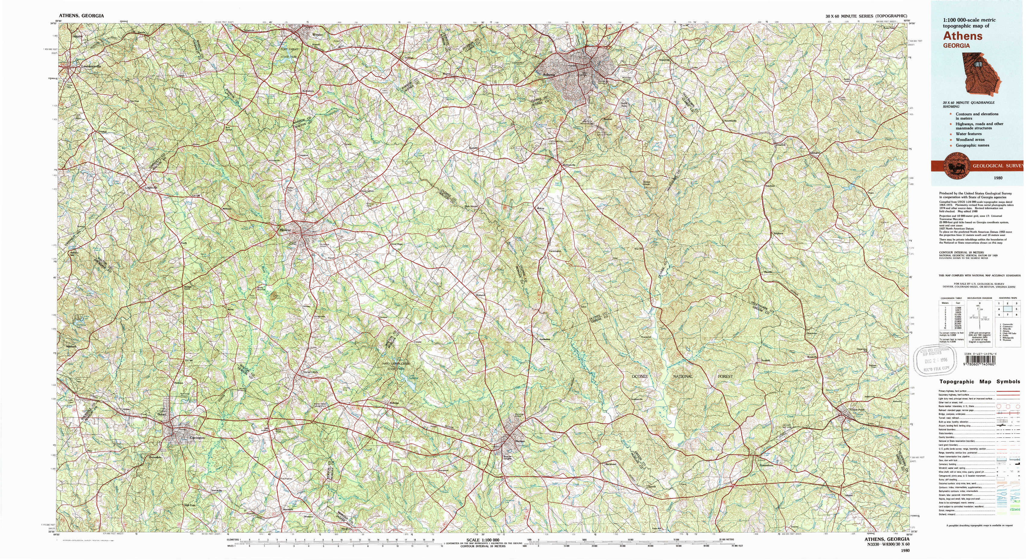
Athens Topo Map Georgia
To zoom in, hover over the map of Athens
USGS Topo Map 33083e1 - 1:100,000 scale
| Topo Map Name: | Athens |
| USGS Topo Quad ID: | 33083e1 |
| Print Size: | ca. 39" wide x 24" high |
| Southeast Coordinates: | 33.5° N latitude / 83° W longitude |
| Map Center Coordinates: | 33.75° N latitude / 83.5° W longitude |
| U.S. State: | GA |
| Filename: | 33083e1.jpg |
| Download Map JPG Image: | Athens topo map 1:100,000 scale |
| Map Type: | Topographic |
| Topo Series: | 30´x60´ |
| Map Scale: | 1:100,000 |
| Source of Map Images: | United States Geological Survey (USGS) |
| Alternate Map Versions: |
Athens GA 1980, updated 1981 Download PDF Buy paper map Athens GA 1980, updated 1981 Download PDF Buy paper map |
1:100,000 Topos surrounding Athens
Cartersville |
Commerce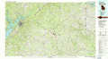 |
Abbeville |
Atlanta |
Athens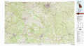 |
Clark Hill Lake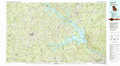 |
Griffin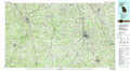 |
Milledgeville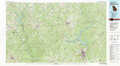 |
Thomson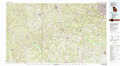 |
> Back to 33082a1 at 1:250,000 scale
> Back to U.S. Topo Maps home
1:24,000 Topo Quads covered by the spatial extent of this 100k map (Athens)
|
Lawrenceville 
|
Bold Springs 
|
Winder South 
|
Statham 
|
Athens West 
|
Athens East 
|
Crawford 
|
Sandy Cross 
|
|
Loganville 
|
Between 
|
Monroe 
|
High Shoals 
|
Watkinsville 
|
Barnett Shoals 
|
Maxeys 
|
Lexington 
|
|
Milstead 
|
Jersey 
|
Social Circle 
|
Rutledge North 
|
Apalachee 
|
Greshamville 
|
Penfield 
|
Woodville 
|
|
Porterdale 
|
Covington 
|
Mansfield 
|
Rutledge South 
|
Madison 
|
Buckhead 
|
Greensboro 
|
Union Point 
|