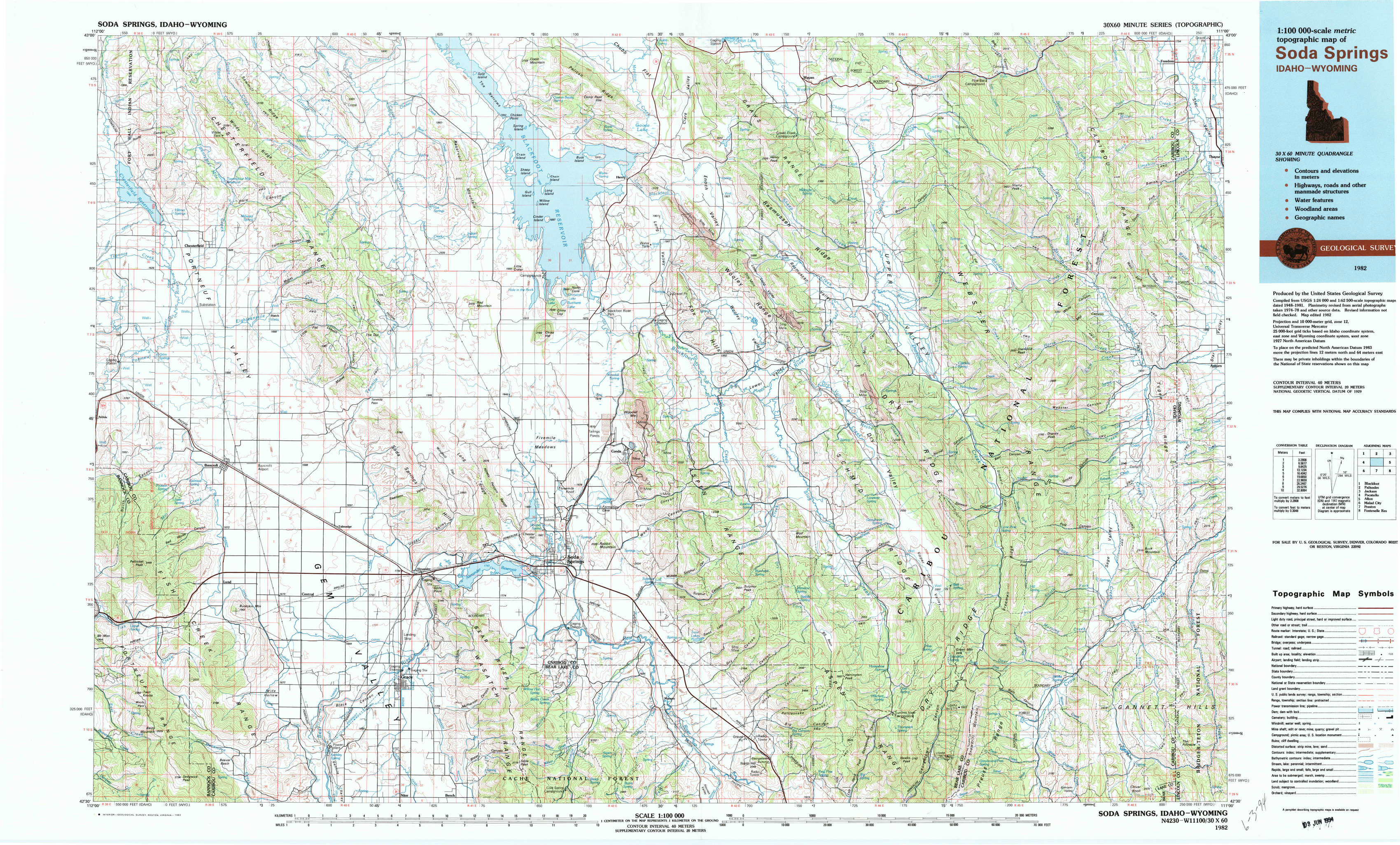
Soda Springs Topo Map Idaho
To zoom in, hover over the map of Soda Springs
USGS Topo Map 42111e1 - 1:100,000 scale
| Topo Map Name: | Soda Springs |
| USGS Topo Quad ID: | 42111e1 |
| Print Size: | ca. 39" wide x 24" high |
| Southeast Coordinates: | 42.5° N latitude / 111° W longitude |
| Map Center Coordinates: | 42.75° N latitude / 111.5° W longitude |
| U.S. States: | ID, WY |
| Filename: | 42111e1.jpg |
| Download Map JPG Image: | Soda Springs topo map 1:100,000 scale |
| Map Type: | Topographic |
| Topo Series: | 30´x60´ |
| Map Scale: | 1:100,000 |
| Source of Map Images: | United States Geological Survey (USGS) |
| Alternate Map Versions: |
Soda Springs ID 1982, updated 1982 Download PDF Buy paper map Soda Springs ID 1982, updated 1982 Download PDF Buy paper map |
1:100,000 Topos surrounding Soda Springs
Blackfoot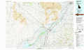 |
Palisades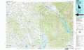 |
Jackson |
Pocatello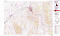 |
Soda Springs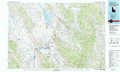 |
Afton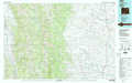 |
Malad City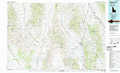 |
Preston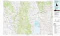 |
Fontenelle Reservoir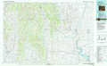 |
> Back to 42110a1 at 1:250,000 scale
> Back to U.S. Topo Maps home
1:24,000 Topo Quads covered by the spatial extent of this 100k map (Soda Springs)
|
Chesterfield Res 
|
Grizzly Creek 
|
Reservoir Mountain 
|
Henry 
|
Wayan West 
|
Wayan East 
|
Stump Peak 
|
Thayne West 
|
|
Chesterfield 
|
Hatch 
|
The Dip 
|
China Hat 
|
Lower Valley 
|
Upper Valley 
|
Diamond Flat 
|
Auburn 
|
|
Bancroft 
|
Talmage 
|
Alexander 
|
Soda Springs 
|
Johnson Creek 
|
Dry Valley 
|
Stewart Flat 
|
Sage Valley 
|
|
Sedgwick Peak 
|
Grace Power Plant 
|
Grace 
|
Soda Peak 
|
Fossil Canyon 
|
Harrington Peak 
|
Snowdrift Mountain 
|
Elk Valley 
|