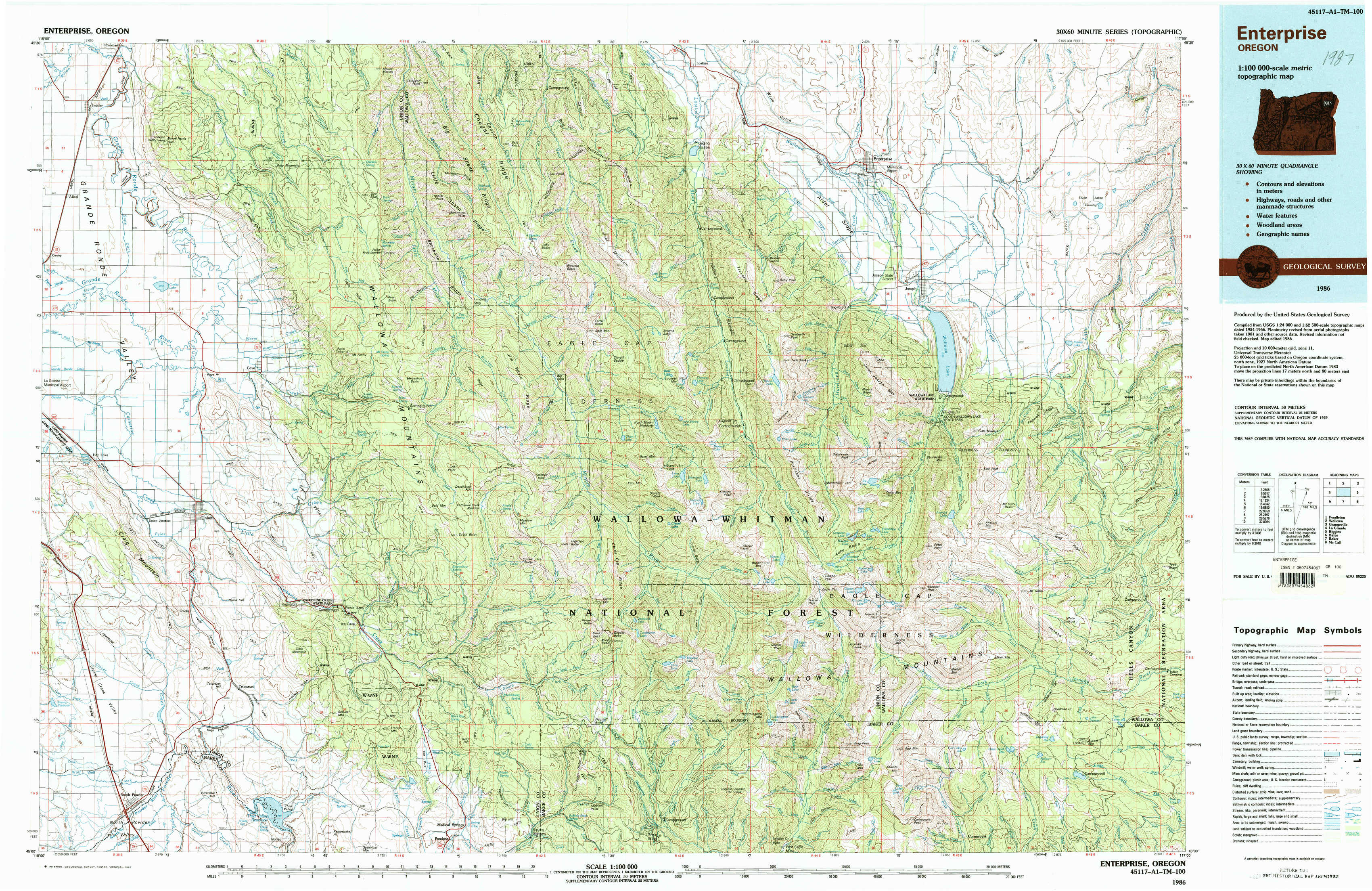
Enterprise Topo Map Oregon
To zoom in, hover over the map of Enterprise
USGS Topo Map 45117a1 - 1:100,000 scale
| Topo Map Name: | Enterprise |
| USGS Topo Quad ID: | 45117a1 |
| Print Size: | ca. 39" wide x 24" high |
| Southeast Coordinates: | 45° N latitude / 117° W longitude |
| Map Center Coordinates: | 45.25° N latitude / 117.5° W longitude |
| U.S. State: | OR |
| Filename: | 45117a1.jpg |
| Download Map JPG Image: | Enterprise topo map 1:100,000 scale |
| Map Type: | Topographic |
| Topo Series: | 30´x60´ |
| Map Scale: | 1:100,000 |
| Source of Map Images: | United States Geological Survey (USGS) |
| Alternate Map Versions: |
Enterprise OR 1986, updated 1987 Download PDF Buy paper map |
1:100,000 Topos surrounding Enterprise
Pendleton |
Wallowa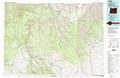 |
Grangeville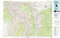 |
La Grande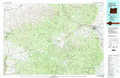 |
Enterprise |
Riggins |
Bates |
Baker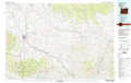 |
Mc Call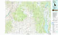 |
> Back to 45116a1 at 1:250,000 scale
> Back to U.S. Topo Maps home
1:24,000 Topo Quads covered by the spatial extent of this 100k map (Enterprise)
|
Imbler 
|
Gassett Bluff 
|
Mount Moriah 
|
Fox Point 
|
Lostine 
|
Enterprise 
|
Joseph Nw 
|
Three Lakes Country 
|
|
Conley 
|
Cove 
|
Mount Fanny 
|
Jim White Ridge 
|
North Minam Meadows 
|
Chief Joseph Mountain 
|
Joseph 
|
Kinney Lake 
|
|
Craig Mountain 
|
Union 
|
Little Catherine Creek 
|
China Cap 
|
Steamboat Lake 
|
Eagle Cap 
|
Aneroid Mountain 
|
Lick Creek 
|
|
North Powder 
|
Telocaset 
|
Medical Springs 
|
Flagstaff Butte 
|
Bennet Peak 
|
Krag Peak 
|
Cornucopia 
|
Deadman Point 
|