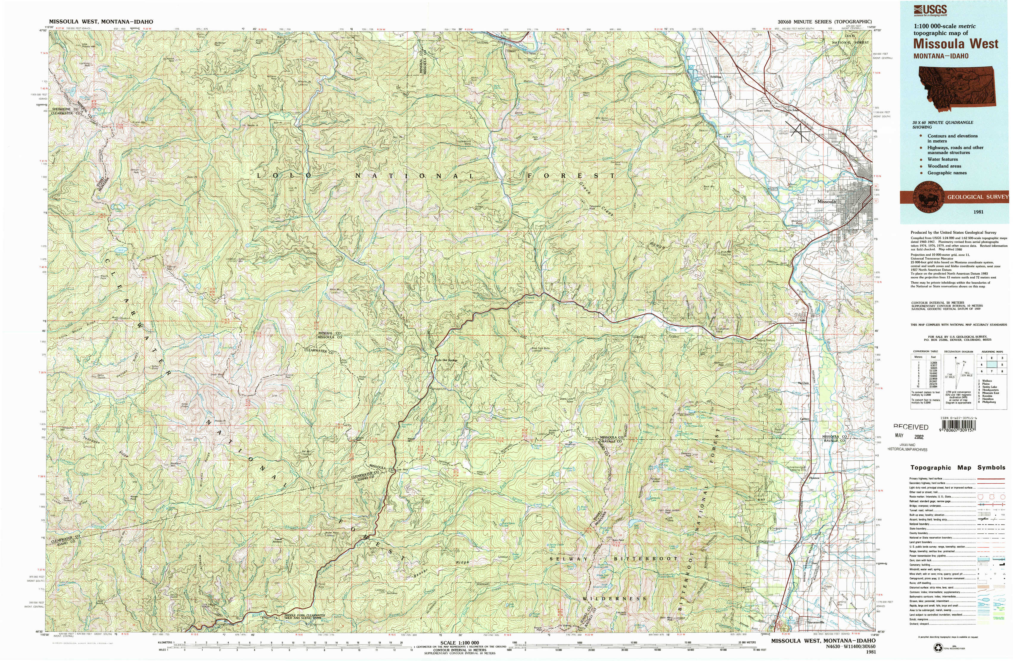
Missoula West Topo Map Montana
To zoom in, hover over the map of Missoula West
USGS Topo Map 46114e1 - 1:100,000 scale
| Topo Map Name: | Missoula West |
| USGS Topo Quad ID: | 46114e1 |
| Print Size: | ca. 39" wide x 24" high |
| Southeast Coordinates: | 46.5° N latitude / 114° W longitude |
| Map Center Coordinates: | 46.75° N latitude / 114.5° W longitude |
| U.S. States: | MT, ID |
| Filename: | 46114e1.jpg |
| Download Map JPG Image: | Missoula West topo map 1:100,000 scale |
| Map Type: | Topographic |
| Topo Series: | 30´x60´ |
| Map Scale: | 1:100,000 |
| Source of Map Images: | United States Geological Survey (USGS) |
| Alternate Map Versions: |
Missoula West MT 1981, updated 1981 Download PDF Buy paper map Missoula West MT 1981, updated 1981 Download PDF Buy paper map |
1:100,000 Topos surrounding Missoula West
Wallace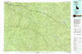 |
Plains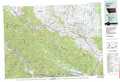 |
Seeley Lake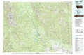 |
Headquarters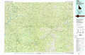 |
Missoula West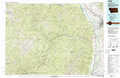 |
Missoula East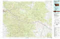 |
Kooskia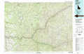 |
Hamilton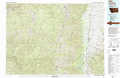 |
Philipsburg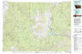 |
> Back to 46114a1 at 1:250,000 scale
> Back to U.S. Topo Maps home
1:24,000 Topo Quads covered by the spatial extent of this 100k map (Missoula West)
|
Straight Peak 
|
Saint Patrick Peak 
|
Williams Peak 
|
Deer Peak 
|
Petty Mountain 
|
Diamond Point 
|
Primrose 
|
Northwest Missoula 
|
|
Bruin Hill 
|
Schley Mountain 
|
White Mountain 
|
Lupine Creek 
|
Garden Point 
|
Camp Creek 
|
Blue Mountain 
|
Southwest Missoula 
|
|
Toboggan Ridge 
|
Rhodes Peak 
|
Granite Pass 
|
Lolo Hot Springs 
|
West Fork Butte 
|
Dick Creek 
|
Carlton Lake 
|
Florence 
|
|
Indian Postoffice 
|
Cayuse Junction 
|
Rocky Point 
|
Roundtop 
|
Ranger Peak 
|
Saint Joseph Peak 
|
Saint Mary Peak 
|
Stevensville 
|